New Post-Doc: Dr. Chunzhu WEI

New Post-Doc: Dr. Chunzhu WEI

October 26, 2017

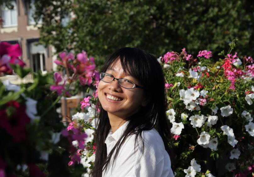
Dr. Chunzhu WEI started her post-doc in the department in October, 2017. She got her PhD from the Department of Geoinformatics (Z_GIS) in the University of Salzburg, Austria. Her PhD researches focused on integrating remote sensing data, geospatial data and socio-economic data to interpret the urban spatial features and urban functions from micro-scale (e.g neighborhood scale) to macro-scale (e.g city and megacity scale). In particular, she is interested in measuring the state of landscape multi-functionality feedbacks (e.g. population density, urbanization velocity, urban segregation) .


She will work on the Catch-Mekong project, the overall objective of which is to provide innovative research and technologies for natural water and land resources management in the delta regions. She is working on deepening the understanding of the urbanization processes in the delta regions and on developing key urban variables or indicators for sustainable environment analysis.

More details about her research can be found at https://www.researchgate.net/profile/Chunzhu_Wei

follow us and share it on:

you may also like:

Drone manufacturer Wingtra visits EORC

Drone manufacturer Wingtra visits EORC

Is it possible to combine the efficiency of a fixed-wing drone with the precision of a laser scanner? That question brought researchers from EORC together with Wingtra, a Swiss company designing and manufacturing fixed-wing UAS, to exchange on UAS research and discuss...

How We Learned to Fly: The Story Behind UAS Research at EORC

How We Learned to Fly: The Story Behind UAS Research at EORC

Every research group that's ever bought a drone has a story about the first one it lost. We're no different. So let's just get that out of the way up front: this is the inside story of how UAS (Unoccupied Aerial System) research grew up at the Earth Observation...

MainPro workshop on TLS and LiDAR UAS

MainPro workshop on TLS and LiDAR UAS

This week, a workshop organized by Sebastian Buchelt within our EFRE project MainPro brought together students, researchers, and interested project partners to explore modern UAV technologies. The workshop took place in vineyards close to Würzburg and gave the...

25 Years of Remote Sensing in Würzburg

25 Years of Remote Sensing in Würzburg

Our chair of remote sensing, Professor Stefan Dech, likes to say "science is rarely a sprint, it's a marathon". And if you look at what's grown out of Würzburg over the last 25 years, you'll see exactly what he means. In 2026 the Julius-Maximilians-Universität...

Starkregen in Bayern: Beobachtungen und Dokumentation zählen

Starkregen in Bayern: Beobachtungen und Dokumentation zählen

Starkregenereignisse treten immer häufiger lokal, kurzfristig und mit hoher Intensität auf. Innerhalb weniger Stunden können sie erhebliche Überschwemmungen und Schäden verursachen. Um solche Ereignisse künftig besser zu verstehen und die wissenschaftliche Grundlage...

Seeing the World in Points: Lidar Course for the EAGLEs

Seeing the World in Points: Lidar Course for the EAGLEs

Lidar has a funny way of sneaking up on you. You think you know what it is, a laser that measures distance, fine, but then someone shows you a point cloud of a forest canopy with individual branches floating in 3D space and suddenly you realize there's a whole...

Share This