
New publication: Analysing irrigated crop rotation patterns in arid Uzbekistan by the means of remote sensing: A case study on post-Soviet agricultural land use

New publication: Analysing irrigated crop rotation patterns in arid Uzbekistan by the means of remote sensing: A case study on post-Soviet agricultural land use

September 9, 2015

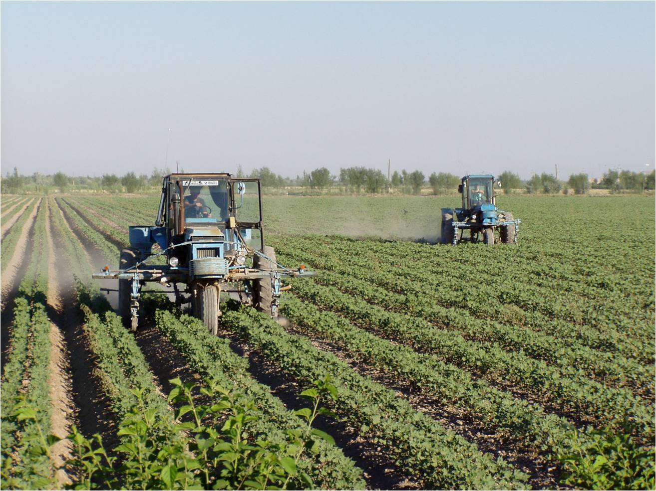
CottonGeneral statements on continuous Soviet-style cotton cultivation in Uzbekistan are challenged. GIS analysis shows areas of diverse rotations but also cotton monocropping, focal points for improvements of the crop rotation systems.


The article is available under http://www.sciencedirect.com/science/article/pii/S014019631530032

I


follow us and share it on:

you may also like:

Remote Sensing for Germany #2

Remote Sensing for Germany #2

Last year, we gave an overview of our remote sensing work on environmental issues having a special focus on Germany – https://remote-sensing.org/remote-sensing-for-germany-1/ . To follow on from this, we present today a selection of studies on spatial patterns...

Simon Plank gives a talk at GZS-Seminar at EOC of DLR

Simon Plank gives a talk at GZS-Seminar at EOC of DLR

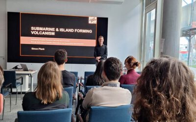
On October 22, our habilitation candidate and guest lecturer from DLR, Dr. Simon Plank gave an inspiring talk at the seminar of the department "Georisks and Civil Security (GZS)" at the Earth Observation Center (EOC) of the German Aerospace Center (DLR). The talk was...

New paper ‘From Spatial to Platial Decision Support’ published

New paper ‘From Spatial to Platial Decision Support’ published

Three  years ago, at the Geolingual Studies Workshop (see here: https://remote-sensing.org/geolingual-studies-workshop-day-1/) researchers from very different disciplines developed ideas to explore how we can better understand the relationship between people and urban...

bzgl. Art. 50 Verordnung (EU) 2024/1689 (AI Act):

Überwiegend werden eigene originäre Texte und Bilder des EORC genutzt, jedoch sind einige Inhalte von blog post Texten teilweise mit Hilfe von KI überarbeitet worden und einige Bilder sind ganz mit KI erstellt, die jedoch deutlich keine photorealistische Darstellungen abbilden. Aussnahmen sind KI generierte fernerkundliche Datensätze, die explizit für Forschungszwecke mit KI erstellt wurden, hier wird aber durch den assoziierten Text der wissenschaftliche Grund der KI generierten Bilder erläutert.

Share This