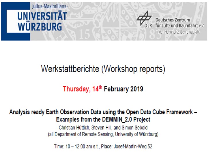

We are glad to announcing our next workshop at the Department of Remote Sensing for Thursday, 14th February 2019.
The presentation will be about
ANALYSIS READY EARTH OBSERVATION USING THE OPEN DATA CUBE FRAMEWORK – EXAMPLES FROM THE DEMMIN_2.0 PROJECT
Abstract
Remotely sensed Earth Observations (EO) data have already exceeded the petabyte-scale and are increasingly freely and openly available from different data holdings. Traditional approaches to the acquisition, management, distribution and analysis of EO data have limitations (e.g., data size, heterogeneity and complexity) that impede their true information potential to be realized. Addressing Big Data challenges such as volume, velocity and variety, requires a change of paradigm and moving away from traditional local processing and data distribution methods to lower the barriers caused by data size and related complications in data management. To tackle these issues and bridge the gap between users’ expectations and current Big Data analytical capabilities, EO Data Cubes (EODC) are a new paradigm revolutionizing the way users can interact with EO data and a promising solution to store, organize, manage and analyze EO data. The main objective of EODC is to facilitate EO data usage by addressing volume, velocity, variety challenges and providing access to large spatial-temporal data in an analysis ready format. The presentation aims at introducing the EODC framework of the CEOS Open Data Cube as a data management and analysis platform. The potential for a variety of applications in remote sensing and, for instance, the link to the scientific scope of the Department of Remote Sensing in Würzburg will be discussed. The DEMMIN Data Cube, which is designed as a prototype for agricultural monitoring in the context of the DEMMIN_2.0 project, will be demonstrated.
Title of presentation: Analysis ready Earth Observation using the Open Data Framework – Examples from the DEMMIN_2.0 Project
Presenters: Dr. Christian Hüttich, Steven Hill, and Simon Sebold (all Department of Remote Sensing, University of Würzburg)
Date: Thursday, 14th February 2019 Time: 10 – 12:00 am s.t. Place: Josef-Martin-Weg 52 (1), Campus Hubland Nord, Würzburg
Presentation language: English Slides: English
All interested persons are cordially invited! We are looking forward to seeing you.