
new SuperVision Earth project

new SuperVision Earth project

March 21, 2023

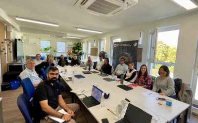
We are pleased to announce that the SuperVision Space project has started. Together with our project partners from the SuperVision Earth-Team and the TU Darmstadt, we are looking forward to further develop applications of Remote Sensing for pipeline monitoring. During this project, our focus lies on the applicability of high-resolution satellite imagery and to improve the detection of potential threats for pipelines.



follow us and share it on:

you may also like:

GLS-team visits Planetary Health exhibition

GLS-team visits Planetary Health exhibition

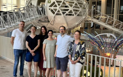
One of the aims of Geolingual Studies Geolingual Studies - Geolingual Studies is to ensure effective science communication beyond the scientific community and into the wider society. The Geolingual Studies team was given the opportunity to look at concepts and methods...

Mapping Lava Tubes on Mauritius with iPhone Pro LiDAR

Mapping Lava Tubes on Mauritius with iPhone Pro LiDAR

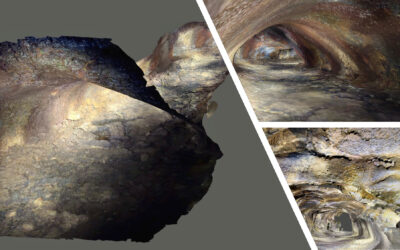
Lava tube structures on Mauritius are quite hard to survey - tight, dark, and largely inaccessible to classical scanning equipment. As part of ongoing research by Dr. Kim Lea Holzmann (Chair of Animal Ecology and Tropical Biology, University of Würzburg), we're...

bzgl. Art. 50 Verordnung (EU) 2024/1689 (AI Act):

Überwiegend werden eigene originäre Texte und Bilder des EORC genutzt, jedoch sind einige Inhalte von blog post Texten teilweise mit Hilfe von KI überarbeitet worden und einige Bilder sind ganz mit KI erstellt, die jedoch deutlich keine photorealistische Darstellungen abbilden. Aussnahmen sind KI generierte fernerkundliche Datensätze, die explizit für Forschungszwecke mit KI erstellt wurden, hier wird aber durch den assoziierten Text der wissenschaftliche Grund der KI generierten Bilder erläutert.

Privacy Policy

Lehrstuhl für Fernerkundung & Lehrstuhl für Urbane Fernerkundung

Erdbeobachtung an der Universität Würzburg

Share This