
OPTIPLAN – Driving Innovation in Traffic and Urban Planning

OPTIPLAN – Driving Innovation in Traffic and Urban Planning

October 25, 2024

Driving Innovation in Traffic and Urban Planning: Insights from OPTIPLAN

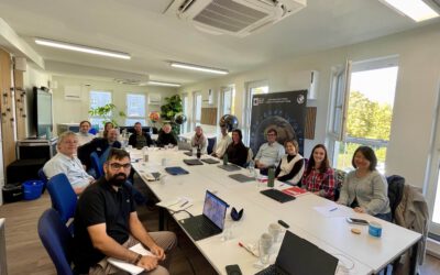
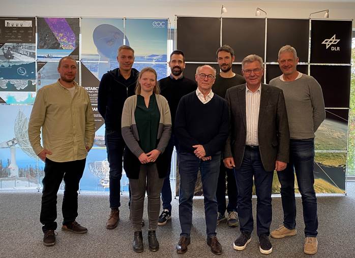
On October 24, 2024, the OPTIPLAN research consortium (German Aerospace Center (DLR)/University of Würzburg, Ingenieurbüro Behringer & Partner, and OBERMEYER GmbH) gathered to advance collaborative innovations in remote sensing for urban traffic and development. Discussions highlighted new approaches that extend beyond traditional methodologies to address emerging urban needs.

Pioneering AI-Enhanced Traffic Monitoring
A major focus was using AI to analyze street-level camera feeds for precise traffic monitoring. By adapting high-resolution remote sensing tools for privacy-compliant, low-resolution street images, it is the aim to distinguish not only broad categories—such as cars, pedestrians, and cyclists—but also specific classes, like heavy vehicles and cargo bikes. This capability promises a more refined understanding of urban traffic dynamics and improved planning accuracy.

Spatial Balance for Sustainable Urban Development
In view of northern Munich’s growth, we evaluated planning scenarios that balance essential green and blue spaces with built-up areas. Using spatial statistics, the projections consider both environmental benefits and the mitigation of urban heat. This balance is crucial as Munich anticipates population increase, underscoring the need for development that promotes livability and sustainability.

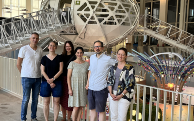
Beyond this, a tour of DLR’s facilities offered valuable insights into orthophoto data collection, showcasing our end-to-end approaches—from large-scale satellite and aerial imagery to on-ground traffic analysis and strategic urban planning.

 

follow us and share it on:

you may also like:

GLS-team visits Planetary Health exhibition

GLS-team visits Planetary Health exhibition

One of the aims of Geolingual Studies Geolingual Studies - Geolingual Studies is to ensure effective science communication beyond the scientific community and into the wider society. The Geolingual Studies team was given the opportunity to look at concepts and methods...

Mapping Lava Tubes on Mauritius with iPhone Pro LiDAR

Mapping Lava Tubes on Mauritius with iPhone Pro LiDAR

Lava tube structures on Mauritius are quite hard to survey - tight, dark, and largely inaccessible to classical scanning equipment. As part of ongoing research by Dr. Kim Lea Holzmann (Chair of Animal Ecology and Tropical Biology, University of Würzburg), we're...

Drone manufacturer Wingtra visits EORC

Drone manufacturer Wingtra visits EORC

Is it possible to combine the efficiency of a fixed-wing drone with the precision of a laser scanner? That question brought researchers from EORC together with Wingtra, a Swiss company designing and manufacturing fixed-wing UAS, to exchange on UAS research and discuss...

How We Learned to Fly: The Story Behind UAS Research at EORC

How We Learned to Fly: The Story Behind UAS Research at EORC

Every research group that's ever bought a drone has a story about the first one it lost. We're no different. So let's just get that out of the way up front: this is the inside story of how UAS (Unoccupied Aerial System) research grew up at the Earth Observation...

MainPro workshop on TLS and LiDAR UAS

MainPro workshop on TLS and LiDAR UAS

This week, a workshop organized by Sebastian Buchelt within our EFRE project MainPro brought together students, researchers, and interested project partners to explore modern UAV technologies. The workshop took place in vineyards close to Würzburg and gave the...

Share This