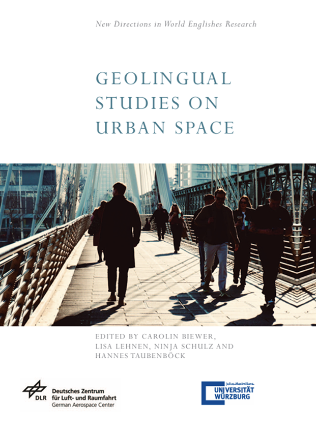

The first edited volume on “Geolingual Studies on Urban Space” has now been published by the Edinburgh University Press as part of the series New Directions in World Englishes Research. The volume is edited by Carolin Biewer, Lisa Lehnen, Ninja Schulz and Hannes Taubenböck. Please see here for details: https://edinburghuniversitypress.com/book-geolingual-studies-on-urban-space.html
This volume is one outcome of our Geolingual studies project – https://www.phil.uni-wuerzburg.de/gls. Geolingual Studies is an innovative area of research, where the description of the physical environment is complemented by the linguistic assessment of social networks, identity constructions, discourses and the perception of space in a global and culture-specific context. Therefore methodologies from linguistics, geography / remote sensing, digital humanities and natural language processing are combined in an interdisciplinary way.
In the new book, the focus is on case studies from various megacities, densely populated city-states and capitals around the world including London, Edinburgh, New York, Tokyo, Singapore, Hong Kong, Davao City, Accra, and Mexico City. Our Earth Observation Research Cluster (EORC) and the Earth Observation Center (EOC) of the German Aerospace Center (DLR) contributed in particular to the following chapters:
- Chapter 1: Geolingual Studies as a New Research Approach in World Englishes – an Introduction – by Carolin Biewer, Hannes Taubenböck, Lisa Lehnen and Ninja Schulz
- Chapter 7: Imagined communities on Social Media: Exploring Linguistic Othering during Brexit – by Zuzanna Elliot and Richard Lemoine-Rodríguez
- Chapter 9: Using Geolocated Social Media Data to Verify the Socio-spatial Dimension of Cities – A Case Study on Tweets from New York – by Richard Lemoine-Rodríguez, Carolin Biewer, Johannes Mast and Hannes Taubenböck
- Chapter 10: Exploring Twitter Discourse across Different Districts of Edinburgh during the COVID-19 Pandemic – by Ninja Schulz and Richard Lemoine-Rodríguez
- Chapter 11: Using Geolocated Social Media Data for Understanding the Relationships between Language, Topic and Mobility: A Case Study on a Local Use of English in Nigeria – by Johannes Mast, Dominik Heps and Marta Sapena Moll
- Chapter 12: Spatio-temporal and Linguistic Assessments of Urban Space: Applications, Implications and Outlook – by Carolin Biewer, Lisa Lehnen, Richard Lemoine-Rodríguez, Ninja Schulz and Hannes Taubenböck