We started again to organise our 10 day excursion into the Nationalpark Bavarian Forest learning how to apply remote sensing in biodiversity research. The 10 day course consists of learning field measurements such as
- LCCS
- spectrometer measurements
- LAI
- GPS and map interpretation etc.
as well as working with a variety of remotely sensed data such as
- Landsat and MODIS
- LiDAR
- hyperspectral data (Hymal, Hyspex)

moreover all attendees will analyse spatial biodiversity patterns (botanical as well as zoological data) and if/how they can be explained using remotely sensed data. All analysis are done with OpenSource software such as R , GRASS and QGIS.
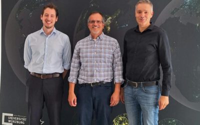
Lecturers are Benjamin Leutner and Dr. Martin Wegmann