Advancing Forest Inventory: Field Trip to Sailershausen

Advancing Forest Inventory: Field Trip to Sailershausen

March 24, 2025

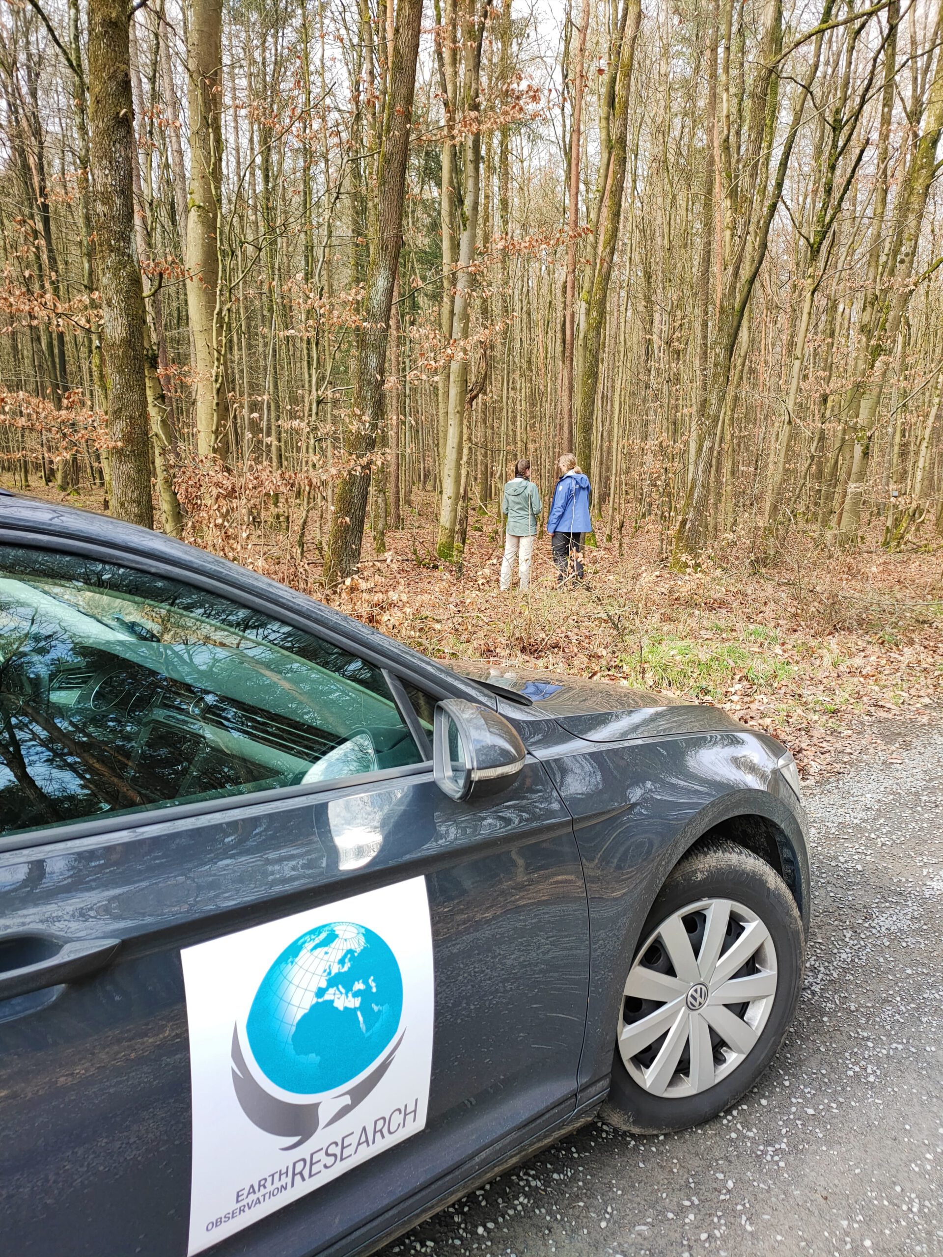
Today, staff from the Earth Observation Research Cluster conducted a field trip to Sailershausen to visit three fully inventoried forest plots and to discuss examples of remote sensing applications with the forestry administration of the University of Würzburg. The goal of this research is to apply the R package TreeCompR to these plots using Airborne LiDAR data and compare the results with tree-by-tree in-situ measurements.

This comparison aims to calibrate and refine an airborne LiDAR data-based approach and thus improve the application in forest inventory and forest management planning. By improving the accuracy of this method, we can better assess the necessary measures for sustainable forest management.

The work is being carried out within the EO4CAM project, with the University Forest serving as a pilot region.

 

you may also like:

HABITRACK: New Project for Predicting Vector-Borne Diseases

HABITRACK: New Project for Predicting Vector-Borne Diseases

We are very pleased to announce the successful acquisition of the third-party funded BMFTR project HABITRACK. The proposal was led on the EORC side by Ariane Droin and Hannes Taubenböck, together with strong partners from research, medicine, and public health:...

Poster Presentation at AK Hydrologie, Bonn

Poster Presentation at AK Hydrologie, Bonn

From November 13 to 15, Sofia Haag and Christian Schäfer attended the AK Hydrologie workshop in Bonn, where they presented their work from the EO4CAM project. The first day featured an insightful field excursion to the Ahrtal region, led by Prof. Dr. Jürgen Herget,...

Visit at the Institute for Geoinformatics (IFGI) at University of Münster

Visit at the Institute for Geoinformatics (IFGI) at University of Münster

Two days ago, our PostDoc Dr. Jakob Schwalb-Willmann visited the Institute for Geoinformatics at University of Münster to give a talk at IFGI’s GI Forum titled “Can animals be used to classify land use? Employing movement-tracked animals as environmental informants using deep learning”.