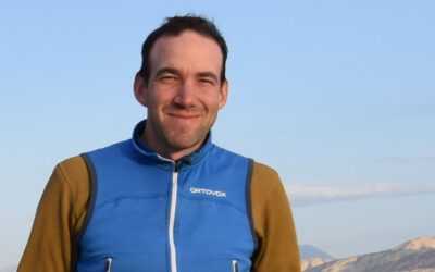
Simon is the lecturer who teaches you what to actually do when a volcano starts erupting and someone needs answers in hours, not weeks. He is with the Natural Hazards team at DLR and runs the EAGLE MSc course “Risk and Disaster Earth Observation,” which is basically a crash course in turning satellite data into something useful while a disaster is still unfolding.
His day job is developing automated algorithms for extracting crisis information from optical, thermal and SAR imagery, and he is not just doing this from a research distance either. He is an Emergency On-Call Officer and Project and Data Manager for the International Charter “Space and Major Disasters,” and he works through DLR’s Center for Satellite based Crisis Information, ZKI, which feeds directly into national and international disaster response efforts. So when he is teaching students how rapid mapping actually works, he is describing something he does for real, sometimes literally on call.
The course itself walks students through how different sensors each tell a different part of the disaster story, thermal imagery for catching heat anomalies on active volcanoes or spreading wildfires, optical for high-resolution damage assessment, SAR for seeing through cloud and darkness during floods and interferometric SAR for picking up ground deformation caused by an earthquake that’s otherwise invisible. None of it stays theoretical either, students get hands-on with tools like SNAP and Google Earth Engine, working through scenario-based exercises covering volcanoes, landslides, earthquakes, tsunamis, storms, floods and wildfires.
What comes through in how the course is framed is that Simon pushes students past the purely technical side, into actually thinking about the societal and economic stakes of the data they’re producing, and the responsibility that comes with putting it in front of decision-makers during a crisis. His own research backs that up, he’s been tracking Home Reef, the newest volcanic island on Earth, since it broke the surface in the Tonga Volcanic Arc in 2022, recently fielding questions from NASA Earth Observatory about its latest growth spurt.
For students aiming at disaster risk reduction, environmental monitoring or anything that puts EO data into operational hands, this course tends to be the one that makes the stakes click, less “here’s how SAR works” and more “here’s what happens when people are actually relying on what you produce.”