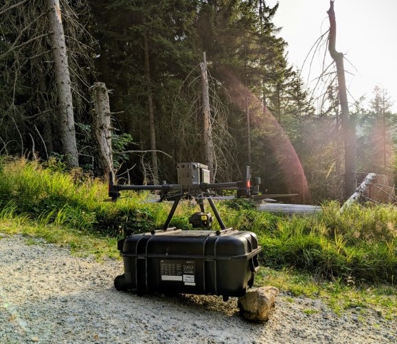
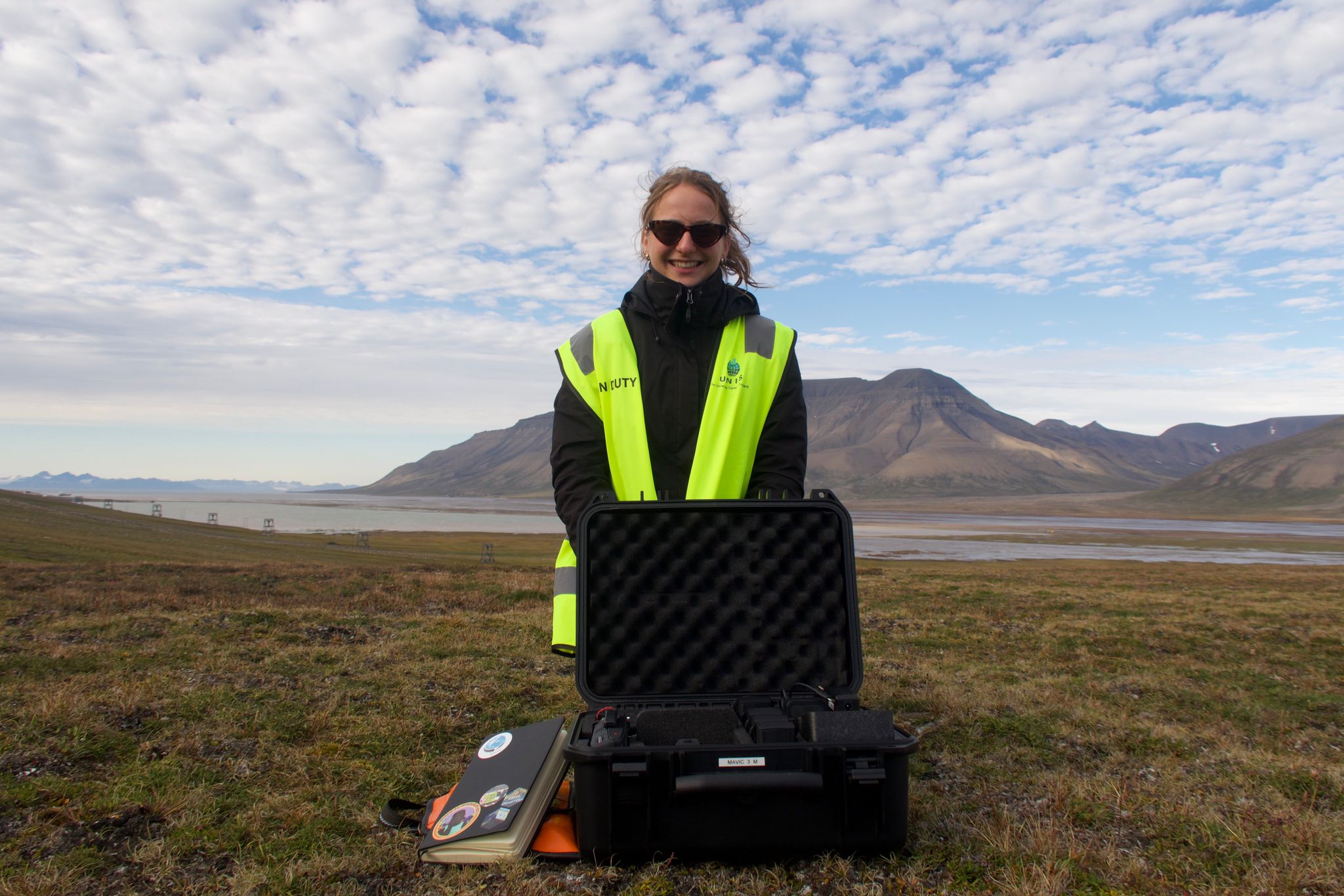
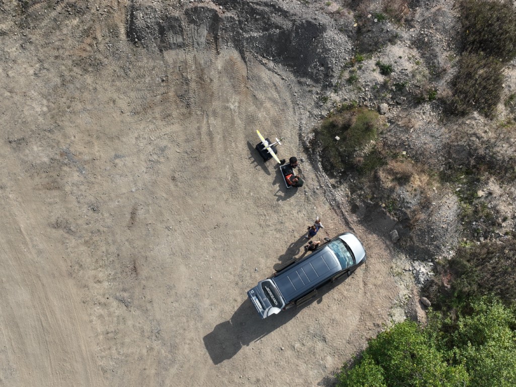
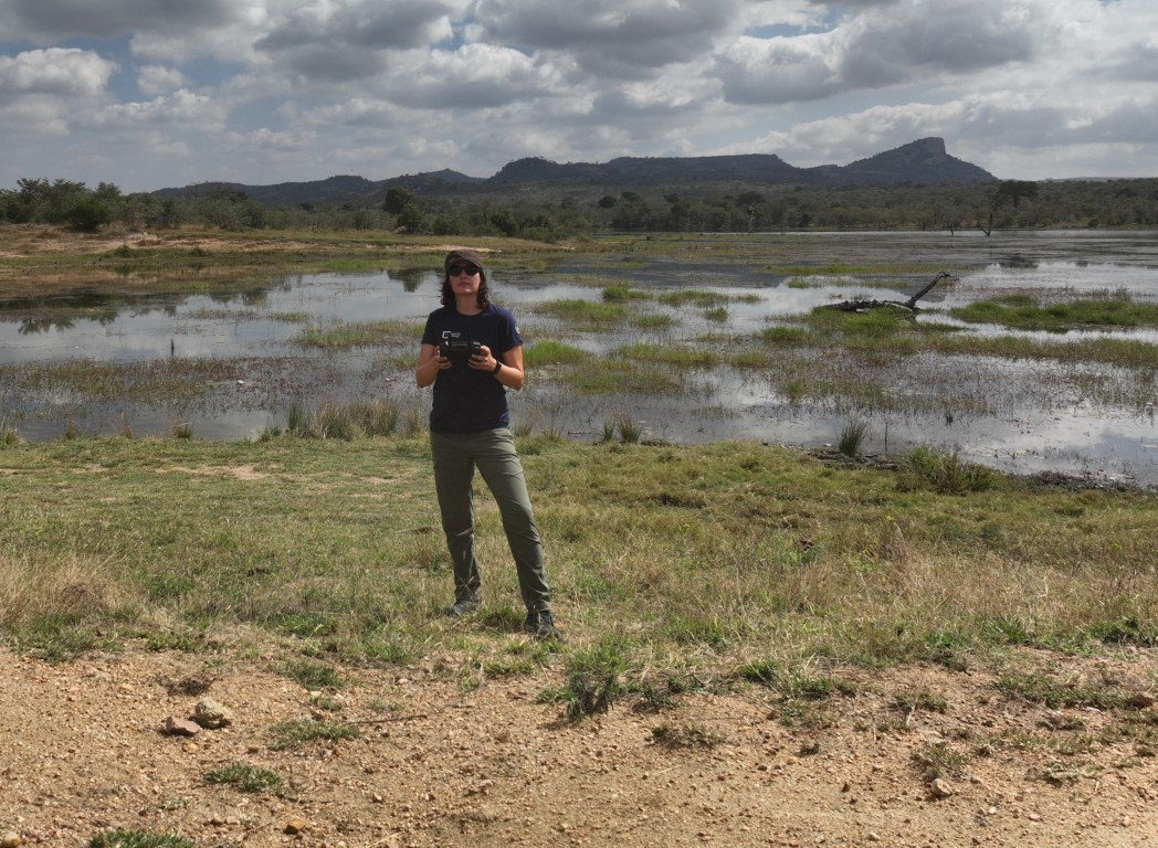
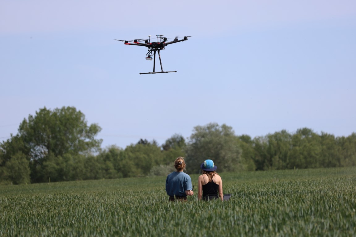
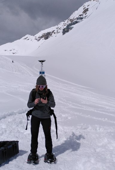
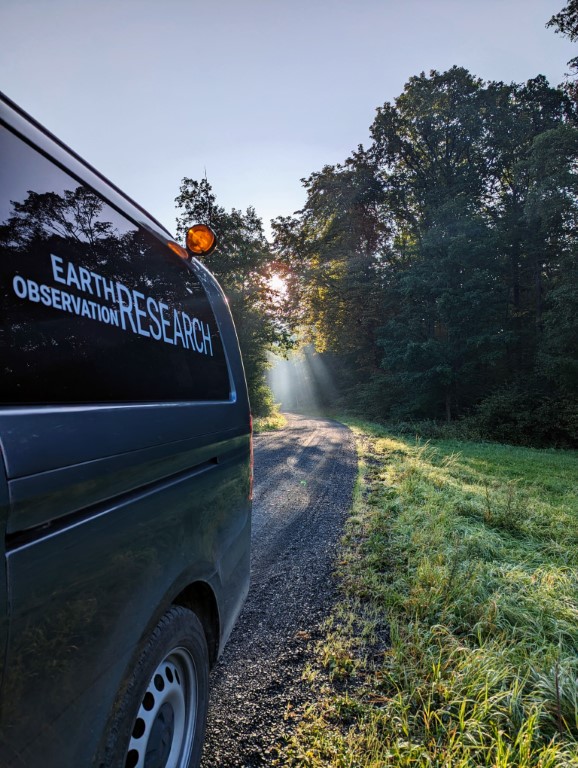
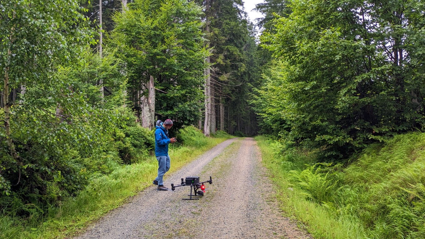
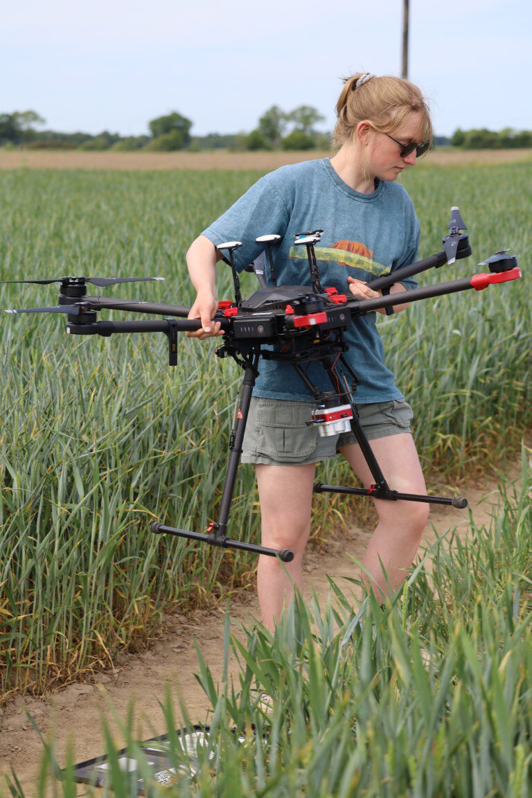
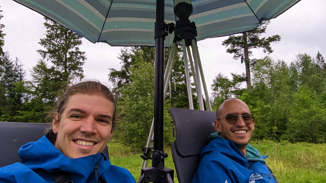
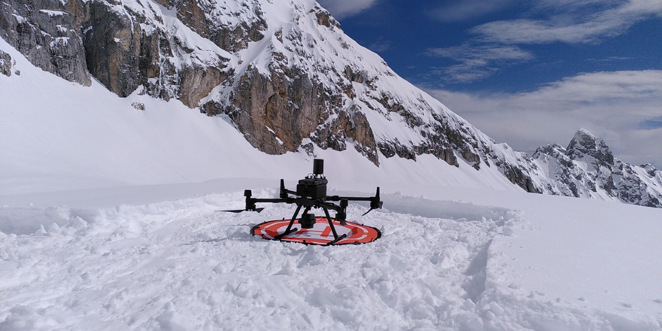
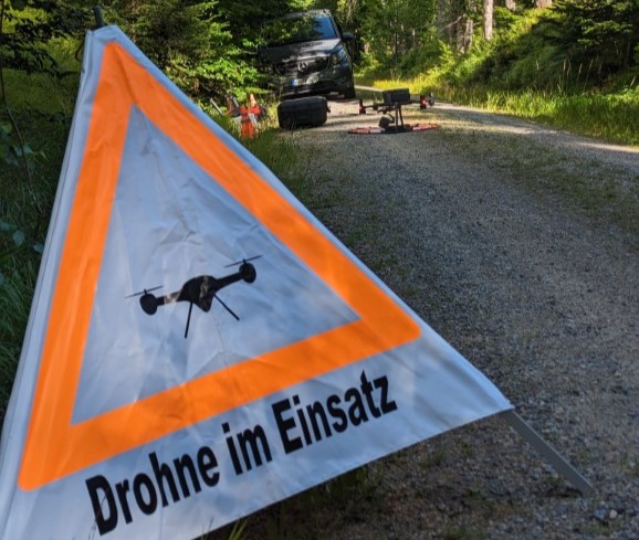
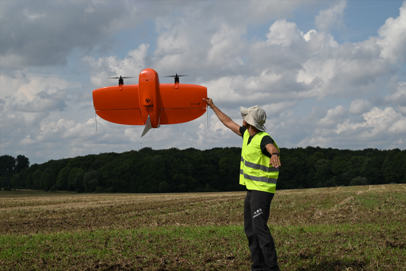
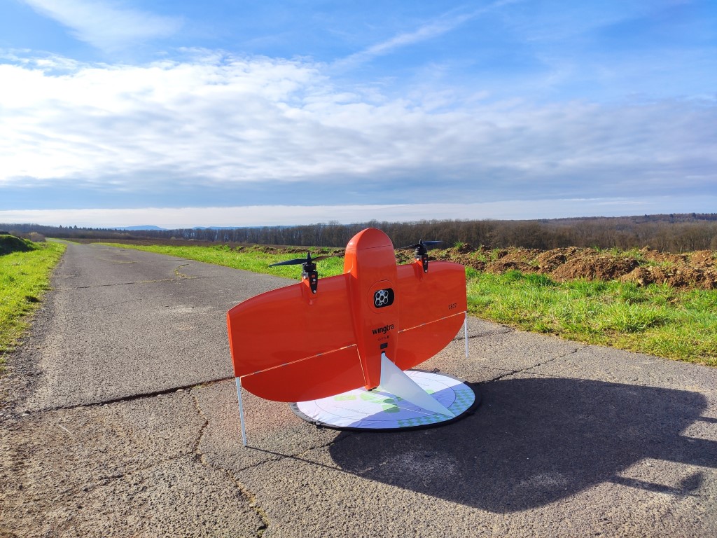
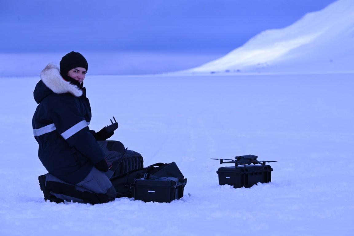
Our UAS team was quite busy this year and covered various study sites and ecosystems across the globe. They collected TB of multispectral, thermal and Lidar data for various applications in Europe, the Arctic and Africa. The core team consisted of our EORC staff Antonio Castañeda and Jakob Schwalb-Willmann with support of our EAGLE students Sunniva McKeever, Ronja Seitz, Jannis Midasch and Lena Jäger and lead by Dr. Mirjana Bevanda.
It was a very intense year with planning of flight missions in various conditions and terrains, with changing environments and various challenges and always keeping an eye on the weather forecast but they managed to conduct all planned research data collections. The UAS team will of course continue the data collection in various study sites in the next year but will focus on the data analysis and publish their research findings.
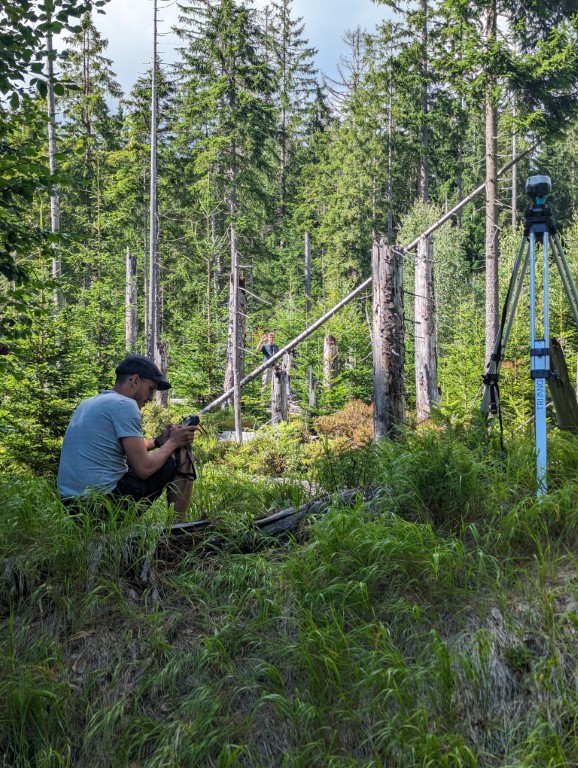
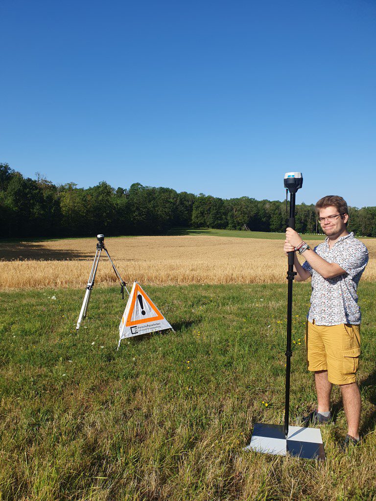
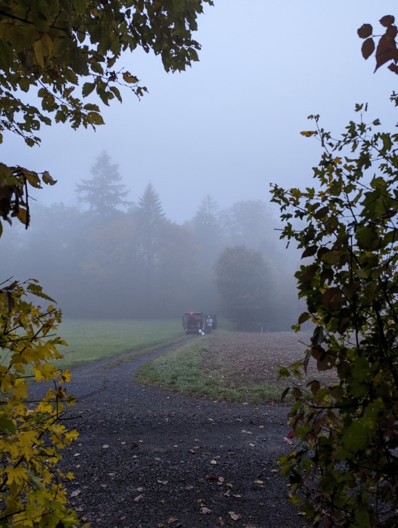
Beside the field data collection and the research they also had a lot of valuable experiences during the field data collection and also enjoyed to work together and solve the various unplanned challenges, like stuck cars, never ending fog, sunburns and freezing fingers or a marriage proposal on the first launching site and a funeral near the second launch side, bird attacks on our drones, deep snow conditions and heavy transport but never lost the good mood.
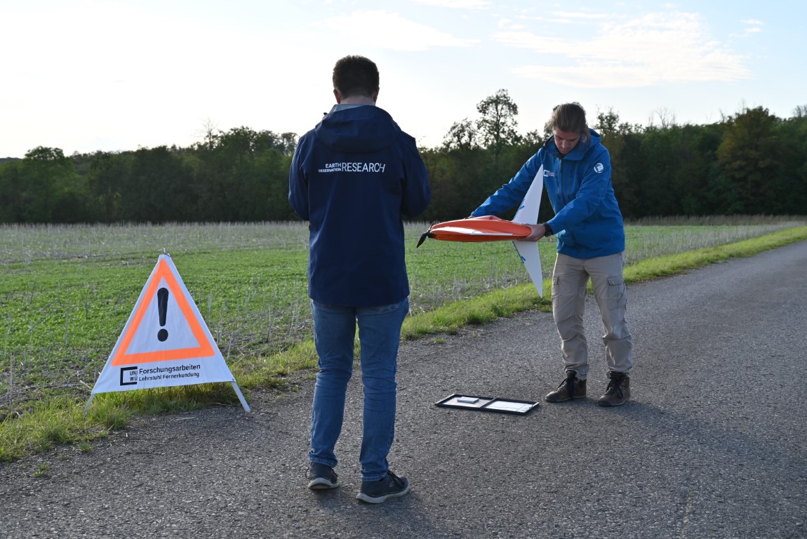
Thanks to the team and special thanks to “Flappy” and “Gina” and many more helping hands in the last 12 months. Looking forward to an exciting 2024 with some old and known study sites plus a few new ones – and a few new sensors such as our hyperspectral UAS based sensor.
It was a very intense year with planning of flight missions in various conditions and terrains, with changing environments and various challenges and always keeping an eye on the weather forecast but they managed to conduct all planned research data collections. The UAS team will of course continue the data collection in various study sites in the next year but will focus on the data analysis and publish their research findings.
Beside the field data collection and the research they also had a lot of valuable experiences during the field data collection and also enjoyed to work together and solve the various unplanned challenges, like stuck cars, never ending fog, sunburns and freezing fingers or a marriage proposal on the first launching site and a funeral near the second launch side, bird attacks on our drones, deep snow conditions and heavy transport but never lost the good mood.
Thanks to the team and special thanks to “Flappy” and “Gina” and many more helping hands in the last 12 months. Looking forward to an exciting 2024 with some old and known study sites plus a few new ones – and a few new sensors such as our hyperspectral UAS based sensor.