
new publication: Measuring β‐diversity by remote sensing: A challenge for biodiversity monitoring

new publication: Measuring β‐diversity by remote sensing: A challenge for biodiversity monitoring

August 29, 2018

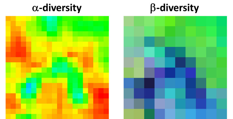
Another article lead by Duccio Rocchini just got published in Methods in Ecology and Evolution titled “Measuring β‐diversity by remote sensing: A challenge for biodiversity monitoring”. From the abstract: “Biodiversity includes multiscalar and multitemporal structures and processes, with different levels of functional organization, from genetic to ecosystemic levels. One of the mostly used methods to infer biodiversity is based on taxonomic approaches and community ecology theories. However, gathering extensive data in the field is difficult due to logistic problems, especially when aiming at modelling biodiversity changes in space and time, which assumes statistically sound sampling schemes. In this context, airborne or satellite remote sensing allows information to be gathered over wide areas in a reasonable time.” read more here

Rocchini D, Luque S, Pettorelli N, et al. Measuring β‐diversity by remote sensing: A challenge for biodiversity monitoring. Methods Ecol Evol. 2018;9:1787–1798. https://doi.org/10.1111/2041-210X.12941

follow us and share it on:

you may also like:

Remote Sensing for Germany #2

Remote Sensing for Germany #2

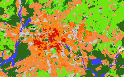
Last year, we gave an overview of our remote sensing work on environmental issues having a special focus on Germany – https://remote-sensing.org/remote-sensing-for-germany-1/ . To follow on from this, we present today a selection of studies on spatial patterns...

Simon Plank gives a talk at GZS-Seminar at EOC of DLR

Simon Plank gives a talk at GZS-Seminar at EOC of DLR

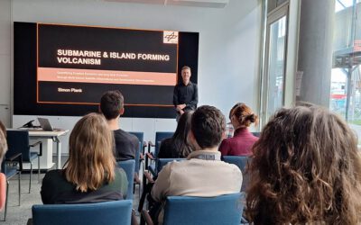
On October 22, our habilitation candidate and guest lecturer from DLR, Dr. Simon Plank gave an inspiring talk at the seminar of the department "Georisks and Civil Security (GZS)" at the Earth Observation Center (EOC) of the German Aerospace Center (DLR). The talk was...

New paper ‘From Spatial to Platial Decision Support’ published

New paper ‘From Spatial to Platial Decision Support’ published

Three  years ago, at the Geolingual Studies Workshop (see here: https://remote-sensing.org/geolingual-studies-workshop-day-1/) researchers from very different disciplines developed ideas to explore how we can better understand the relationship between people and urban...

bzgl. Art. 50 Verordnung (EU) 2024/1689 (AI Act):

Überwiegend werden eigene originäre Texte und Bilder des EORC genutzt, jedoch sind einige Inhalte von blog post Texten teilweise mit Hilfe von KI überarbeitet worden und einige Bilder sind ganz mit KI erstellt, die jedoch deutlich keine photorealistische Darstellungen abbilden. Aussnahmen sind KI generierte fernerkundliche Datensätze, die explizit für Forschungszwecke mit KI erstellt wurden, hier wird aber durch den assoziierten Text der wissenschaftliche Grund der KI generierten Bilder erläutert.

Share This