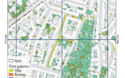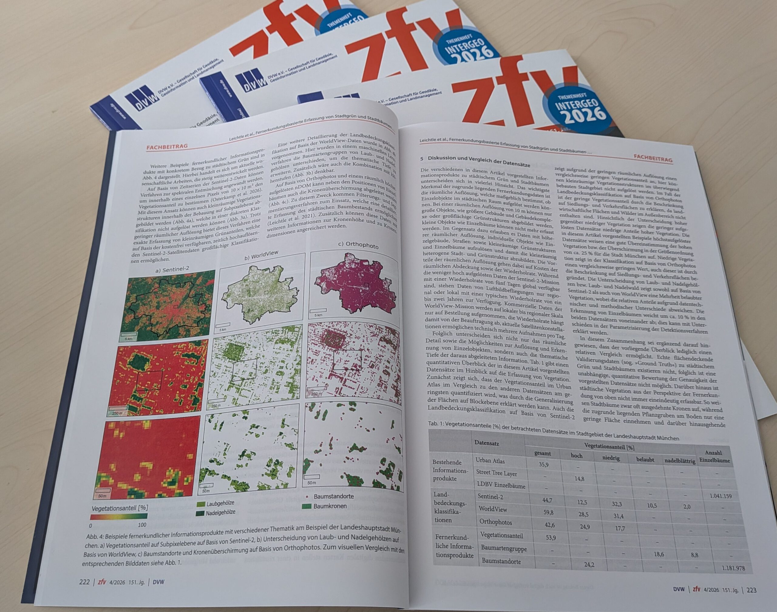

A new study published in the ZfV – Zeitschrift für Geodäsie, Geoinformation und Landmanagement (special issue for INTERGEO 2026) demonstrates how modern Earth Observation (EO) techniques can be applied to map urban green spaces and individual trees in Munich with unprecedented detail.
The article titled “Fernerkundungsbasierte Erfassung von Stadtgrün und Stadtbäumen am Beispiel der Landeshauptstadt München” [engl. Remote Sensing for Detection of Urban Vegetation and Trees in Munich], presents a comprehensive overview of high-resolution satellite imagery, airborne LiDAR, and machine learning to detect and classify urban vegetation using the city of Munich as an example. Based on multiple EO sources, the authors present existing products as well as own approaches to map urban green as part of urban land cover, capture vegetation fraction, estimate canopy cover, detect individual trees, and classify their species. The results offer valuable insights for municipal authorities aiming to optimize green infrastructure and support climate adaptation strategies. Overall, the research contributes to sustainable urban planning, climate resilience, and biodiversity monitoring—key priorities for modern smart cities like Munich.
Read the full article here: Fernerkundungsbasierte Erfassung von Stadtgrün und Stadtbaumen am Beispiel der Landeshauptstadt München
This is another contribution of our EORC and the EOC of the DLR to INTERGEO2026 next week: https://remote-sensing.org/eorc-at-intergeo-2026/