rsMove Updated! (v0.2.7)

rsMove Updated! (v0.2.7)

December 12, 2018

New version of rsMove is available for download. Check the news of the package for details.

The new version added a vignette (see here) detailing the methodology proposed by Remelgado et al. (2017) to map animal resource suitability with remote sensing.

Highlights:

  • Added c++ functions for time-sensitive linear interpolation (intime and intime2)
  • imgInt() was extended to use the newly developed, c++ functions (faster image processing!)
  • Added plausibilityTest() function to compare a probability map (e.g. resource suitability map) against existing data (e.g. land cover) to judge the plausibility of a spatial prediction (does it have an ecological sense?)

follow us and share it on:

you may also like:

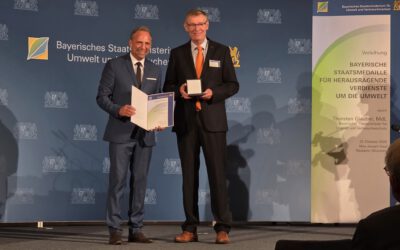
Welcome, Prof. Dr. Stefan Dech!

Welcome, Prof. Dr. Stefan Dech!

Big news at the EORC: as of today, October 1st, 2026, Stefan Dech is officially a senior professor at the University of Würzburg, and he's staying right where he belongs, with us at the EORC. Stefan will keep working with us on a whole range of Earth Observation...

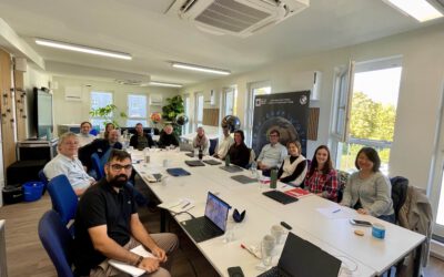
EO4CAM Meeting with LfU and StMUV at DLR

EO4CAM Meeting with LfU and StMUV at DLR

On 30 September 2026, representatives from the Bavarian State Ministry of the Environment and Consumer Protection (StMUV), the Bavarian Environment Agency (LfU), the EORC of the University Würzubrg (JMU), and the...

Field campaign for DFG Fire and Savanna project

Field campaign for DFG Fire and Savanna project

Our PhD candidate Luisa Pflumm is back in Kruger National Park for her third field campaign. Her PhD focuses on how savanna trees respond to combined fire and drought stress for which she is flying UAVs equipped with multispectral and LiDAR sensors. With this round of...

Successful MSc Defense by Henning Riecken

Successful MSc Defense by Henning Riecken

Congratulations to Henning Riecken, who successfully defended his MSc thesis on September 28, 2026: "Mapping and Structural Assessment of Woody Vegetation in Bavaria Using Digital Elevation Models and Multisource Geodata" Henning's thesis explores how newly available...

bzgl. Art. 50 Verordnung (EU) 2024/1689 (AI Act):

Überwiegend werden eigene originäre Texte und Bilder des EORC genutzt, jedoch sind einige Inhalte von blog post Texten teilweise mit Hilfe von KI überarbeitet worden und einige Bilder sind ganz mit KI erstellt, die jedoch deutlich keine photorealistische Darstellungen abbilden. Aussnahmen sind KI generierte fernerkundliche Datensätze, die explizit für Forschungszwecke mit KI erstellt wurden, hier wird aber durch den assoziierten Text der wissenschaftliche Grund der KI generierten Bilder erläutert.

Share This