


follow us and share it on:

you may also like:
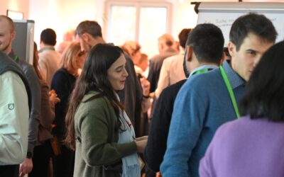
From satellite data to local climate adaptation: Second EO4CAM user workshop in Würzburg
How can satellite data support climate adaptation in everyday administrative practice? This question brought together representatives from public authorities, specialist institutions, and research at the second EO4CAM user workshop in Würzburg on 11 November 2026....
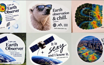
Stickers have landed
Our new EO stickers arrived last week, and they’re already out in the wild. You may spot them on laptops, water bottles and notebooks around campus. Hex logos, nerdy one-liners about satellites and code, and a few jokes only an Earth observation person will get. And...
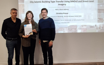
Successful MSc Defense by Christina Krause
Congratulations to our EAGLE student Christina Krause, who successfully defended her MSc thesis titled "Active Learning and Parameter-Efficient Feature Adaptation for Cross-City Seismic Building Type Transfer Using DINOv2 and Street-Level Imagery" on November 12,...
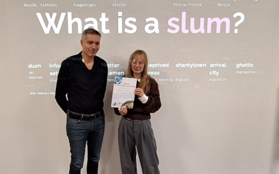
Successful MSc Defense by Marlene Bauer
Congratulations to our EAGLE student Marlene Bauer, who successfully defended her MSc thesis titled "Robust and Uncertainty-Aware Informal Settlement Mapping – Cross-City Generalisation Across Diverse Urban Morphologies Using High-Resolution Satellite Imagery in...
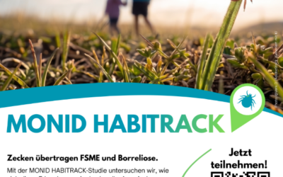
Help Us Understand Ticks: Join the MONID HABITRACK Study
Lyme borreliosis and tick-borne encephalitis (TBE) are the most common tick-borne diseases in Germany, and they are becoming more relevant. Many infections go unnoticed because they cause mild symptoms or none at all. The MONID HABITRACK project, funded by the BMFTR,...
When Rivers Become Art: Exploring the Lech Through Satellite Imagery and Sound
How can we experience a river beyond what we see from its banks? What can satellite images tell us about its changing landscapes, and what happens when scientific observations become the starting point for artistic interpretation? And - how can we imagine a the...
bzgl. Art. 50 Verordnung (EU) 2024/1689 (AI Act):
Überwiegend werden eigene originäre Texte und Bilder des EORC genutzt, jedoch sind einige Inhalte von blog post Texten teilweise mit Hilfe von KI überarbeitet worden und einige Bilder sind ganz mit KI erstellt, die jedoch deutlich keine photorealistische Darstellungen abbilden. Aussnahmen sind KI generierte fernerkundliche Datensätze, die explizit für Forschungszwecke mit KI erstellt wurden, hier wird aber durch den assoziierten Text der wissenschaftliche Grund der KI generierten Bilder erläutert.