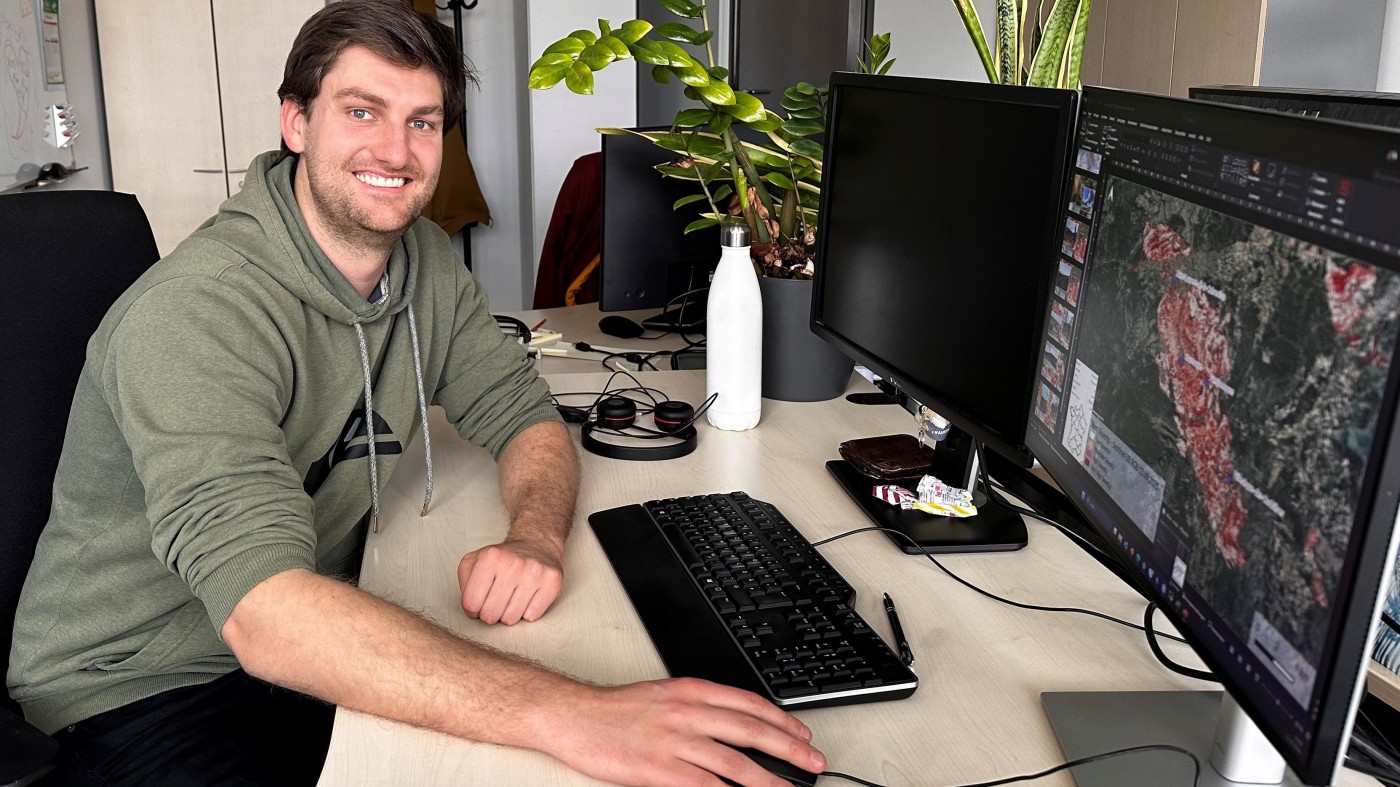

Moritz is a doctoral researcher at our Earth Observation Research Cluster (EORC) at the University of Würzburg. His PhD is externally funded by the Department of Geo-Risks and Civil Security at the German Aerospace Center (DLR), where he is also part of the research group working on remote sensing–based wildfire research.
He studied Geography at the University of Würzburg, where he developed an early interest in the potential of remote sensing to address environmental and natural hazard–related questions. During the EAGLE MSc program, he further specialized in Earth observation and worked on diverse research topics, including alpine treeline mapping, volcanic hazard detection, and wildfire spread prediction. After completing his master’s degree, he joined DLR to focus on satellite-based wildfire monitoring.
His doctoral research investigates wildfire activity in Europe from a large-scale, long-term perspective. The project focuses on burned area mapping and validation, the development of historical fire inventory datasets, and the analysis of human influences on fire activity. This work is motivated by the increasing wildfire risk expected across Europe as a result of changing climatic conditions and strong anthropogenic drivers such as land use change and human-caused ignitions.
To better understand these dynamics, Moritz develops automated, AI-driven algorithms for burned area mapping from satellite data. These processing systems aim to support near real-time wildfire monitoring while also enabling the reconstruction of historical fire activity from satellite archives. Using these datasets, the project aims to build a comprehensive data cube of individual historical fire events across Europe, allowing researchers to analyze when, where, and under which conditions fires occurred.
Another important aspect of his research is improving the evaluation of satellite-based burned area products. Moritz investigates new approaches to quantify uncertainties and errors in global burned area datasets, particularly at the level of individual fire events. By strengthening the reliability of these datasets, his work contributes to a better understanding of wildfire dynamics and supports more robust assessments of wildfire risk in a changing environment.
He studied Geography at the University of Würzburg, where he developed an early interest in the potential of remote sensing to address environmental and natural hazard–related questions. During the EAGLE MSc program, he further specialized in Earth observation and worked on diverse research topics, including alpine treeline mapping, volcanic hazard detection, and wildfire spread prediction. After completing his master’s degree, he joined DLR to focus on satellite-based wildfire monitoring.
His doctoral research investigates wildfire activity in Europe from a large-scale, long-term perspective. The project focuses on burned area mapping and validation, the development of historical fire inventory datasets, and the analysis of human influences on fire activity. This work is motivated by the increasing wildfire risk expected across Europe as a result of changing climatic conditions and strong anthropogenic drivers such as land use change and human-caused ignitions.
To better understand these dynamics, Moritz develops automated, AI-driven algorithms for burned area mapping from satellite data. These processing systems aim to support near real-time wildfire monitoring while also enabling the reconstruction of historical fire activity from satellite archives. Using these datasets, the project aims to build a comprehensive data cube of individual historical fire events across Europe, allowing researchers to analyze when, where, and under which conditions fires occurred.
Another important aspect of his research is improving the evaluation of satellite-based burned area products. Moritz investigates new approaches to quantify uncertainties and errors in global burned area datasets, particularly at the level of individual fire events. By strengthening the reliability of these datasets, his work contributes to a better understanding of wildfire dynamics and supports more robust assessments of wildfire risk in a changing environment.