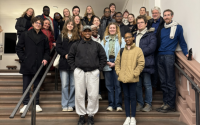
Fieldwork, international collaboration, and hands-on sensor calibration – three EAGLE M.Sc. students recently experienced all of this during their internship in Kruger National Park in South Africa.
Clemens, Sebastian, and Lukas are currently supporting an ongoing research collaboration between the Earth Observation Research Cluster (EORC), South African National Parks (SANParks), and the University of Bayreuth.
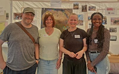
The DFG project investigates fire activity and drought effects on vegetation in the South African savanna using drone-based remote sensing. The larger project is led by Mirjana Bevanda and Tobias Ullmann, together with PhD researcher Luisa Pflumm, in collaboration with Benjamin Wigley and Corli Coetsee..
Building a Thermal Calibration Target
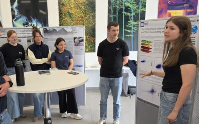
One key task during the internship was the calibration of thermal sensors used for fire mapping. This work is carried out in close collaboration with EAGLE M.Sc. student Anna Bischof and her supervisor Antonio Castaneda-Gomez.
The students began by preparing a set of metallic calibration panels at their department. Each panel measured 10 × 10 cm, and the team produced two types of surfaces:
-
Black-painted panels – designed to appear warm in thermal imagery
-
Bare metallic panels – designed to appear cold in thermal imagery
The goal was to create a strong temperature contrast between panels so that the pattern is clearly detectable in thermal images.
These panels were later assembled into a 70 × 100 cm calibration board arranged in a chessboard-like pattern. High-contrast calibration targets like this allow algorithms to precisely detect reference points in imagery and estimate the geometric properties of the camera.
Calibrating the Thermal Camera
The calibration board is used to calibrate a DJI Zenmuse H30T thermal camera mounted on a drone. Accurate calibration is essential for transforming oblique drone images into pseudo-nadir views of fire scenes.
This process – often referred to as orthorectification – allows researchers to properly account for terrain effects when mapping fires and analyzing vegetation patterns.
Field Measurements in Kruger National Park
Once in Kruger National Park, the students assembled the calibration board and carried out a series of drone flights. During these missions, the drone captured more than 300 images of the target from different viewing angles and distances.
The collected imagery was then sent to Antonio, who analyzed the data remotely from Würzburg in Germany. There, calibration models were run to estimate the camera parameters and test the geometric quality of the images.
This workflow highlights how modern remote sensing projects often combine field measurements in remote environments with processing and modelling performed elsewhere.
GNSS Setup and UAS Training
In addition to the calibration work, the team supported the installation of GNSS reference measurements at the airport site in the park. These measurements help ensure precise positioning for the drone imagery.
The students also participated in UAS flight training to become familiar with the specific requirements of operating drone missions within Kruger National Park. Working in protected areas requires careful planning, strict safety procedures, and awareness of environmental and wildlife considerations.
From Fieldwork to Fire Monitoring
The collected data will contribute to improving drone-based thermal observations used to detect fire dynamics and drought stress in savanna ecosystems. By ensuring accurate sensor calibration and image geometry, the team helps build reliable datasets for monitoring environmental change in one of Africa’s most important protected landscapes.
For the EAGLE students, the internship provides a unique opportunity to connect instrument calibration, drone operations, and environmental research—all while working directly in the landscapes they usually observe from satellites and aerial imagery.