EORC at the Smart Forest Conference: Research meets Practive

EORC at the Smart Forest Conference: Research meets Practive

March 13, 2026

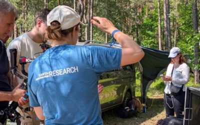
This week, our EO4CAM staff Sonja and Julian attended the Smart Forest Conference in Freising, a meeting that brings together researchers, forestry practitioners, and technology developers working at the interface of forest science and digital innovation. Over two days, participants presented new research results, practical applications, and perspectives from both scientific and operational forestry.
The event provided an opportunity to listen to a wide range of talks and to exchange ideas with both new and familiar colleagues. Informal discussions during the breaks highlighted one of the key strengths of the conference: creating a shared space where forest science and forest practice meet, allowing researchers and practitioners to discuss current challenges and future developments in forest management and inventory.
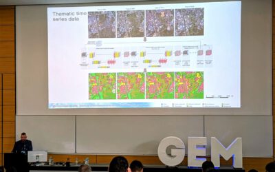
Today, Sonja presented a part of her master thesis: Comparing tree metrics across different lidar platforms in a mature beech stand in the first session of the day focusing on new methods in forest inventory.
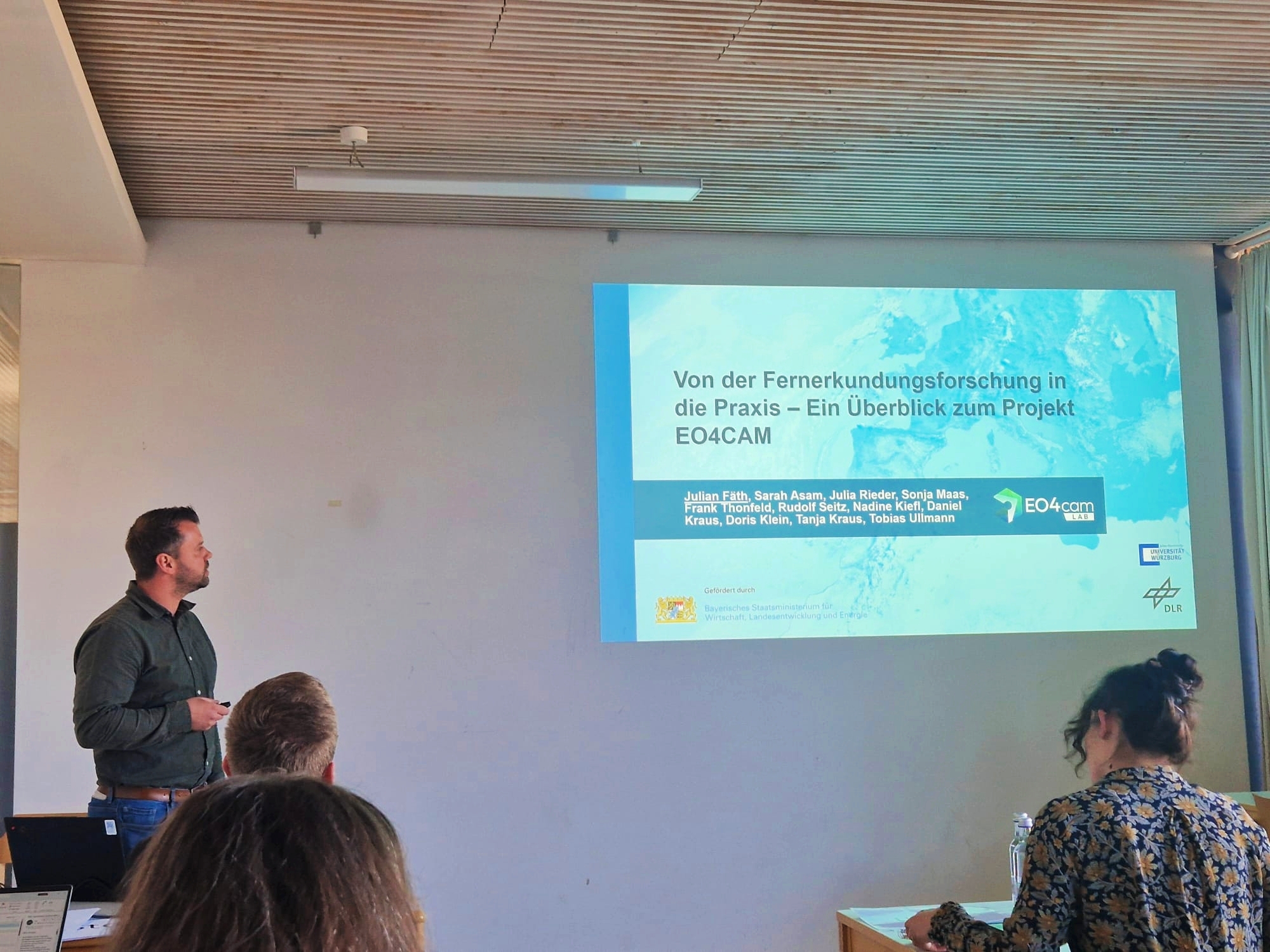
In addition, Julian gave a talk about the project EO4CAM, introducing the audience to the main goals and concept of the project, first results and of course the newly inaugurated data portal.
Overall, the conference offered an inspiring environment for sharing knowledge and discussing how technological innovation can help shape the future of forest monitoring and sustainable forest management.


follow us and share it on:

you may also like:

Starkregen in Bayern: Beobachtungen und Dokumentation zählen

Starkregen in Bayern: Beobachtungen und Dokumentation zählen

Starkregenereignisse treten immer häufiger lokal, kurzfristig und mit hoher Intensität auf. Innerhalb weniger Stunden können sie erhebliche Überschwemmungen und Schäden verursachen. Um solche Ereignisse künftig besser zu verstehen und die wissenschaftliche Grundlage...

Seeing the World in Points: Lidar Course for the EAGLEs

Seeing the World in Points: Lidar Course for the EAGLEs

Lidar has a funny way of sneaking up on you. You think you know what it is, a laser that measures distance, fine, but then someone shows you a point cloud of a forest canopy with individual branches floating in 3D space and suddenly you realize there's a whole...

RTL covers EORC: TV Crew Films MONID Habitrack Fieldwork

RTL covers EORC: TV Crew Films MONID Habitrack Fieldwork

A bit of extra excitement at EORC recently, an RTL television crew showed up to film a segment on the MONID Habitrack project, and Dr. Ariane Droin was right in the middle of it, walking them through what Earth Observation actually brings to the table for a project...

Ticks from Above: UAS Fieldwork for the MONID Habitrack Project

Ticks from Above: UAS Fieldwork for the MONID Habitrack Project

Forest edges are tricky places. They're where woodland meets open ground, where light and shade trade off every few meters, and where, it turns out, ticks tend to do really well. That last bit is exactly why Dr. Ariane Droin, Sofica Garcia de Leon, Dr. Jakob...

AI Meets Earthquake Risk: DLR Researchers at GEM Conference 2026

AI Meets Earthquake Risk: DLR Researchers at GEM Conference 2026

This week (23–25 June 2026), the GEM Conference 2026: From Faults to Future Scenarios brought together the global earthquake risk community in Zagreb, Croatia, marking the release of GEM's 2026 global seismic hazard and risk models. Among the presenters were...

Share This