
Publication on EO-based Detection of Urban Green and Trees in Munich in the ZFV special issue for INTERGEO 2026

Publication on EO-based Detection of Urban Green and Trees in Munich in the ZFV special issue for INTERGEO 2026

September 10, 2026

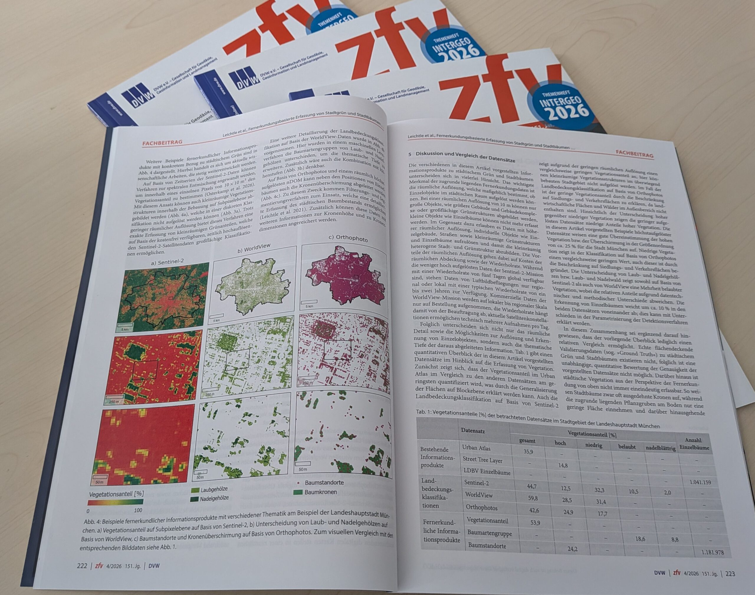
A new study published in the ZfV – Zeitschrift für Geodäsie, Geoinformation und Landmanagement (special issue for INTERGEO 2026) demonstrates how modern Earth Observation (EO) techniques can be applied to map urban green spaces and individual trees in Munich with unprecedented detail.

The article titled “Fernerkundungsbasierte Erfassung von Stadtgrün und Stadtbäumen am Beispiel der Landeshauptstadt München” [engl. Remote Sensing for Detection of Urban Vegetation and Trees in Munich], presents a comprehensive overview of high-resolution satellite imagery, airborne LiDAR, and machine learning to detect and classify urban vegetation using the city of Munich as an example. Based on multiple EO sources, the authors present existing products as well as own approaches to map urban green as part of urban land cover, capture vegetation fraction, estimate canopy cover, detect individual trees, and classify their species. The results offer valuable insights for municipal authorities aiming to optimize green infrastructure and support climate adaptation strategies. Overall, the research contributes to sustainable urban planning, climate resilience, and biodiversity monitoring—key priorities for modern smart cities like Munich.

Read the full article here: Fernerkundungsbasierte Erfassung von Stadtgrün und Stadtbaumen am Beispiel der Landeshauptstadt München

This is another contribution of our EORC and the EOC of the DLR to INTERGEO2026 next week: https://remote-sensing.org/eorc-at-intergeo-2026/

 

follow us and share it on:

you may also like:

New paper on the relation of Measured and experienced urban Heat

New paper on the relation of Measured and experienced urban Heat

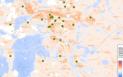
The heatwaves of summer 2026 and the associated excess mortality highlight one aspect of the dramatic nature of climate change. Over the years, we have carried out a great deal of research on the topic of 'urban heat islands' (see below for related works) – but...

New paper on Urban tree classification

New paper on Urban tree classification

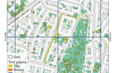
Urban tree classification is still a challenge for remote sensing, particularly in heterogeneous urban environments where tree genera are highly diverse and existing inventories often provide incomplete coverage. In our new study, we explore the potential of very...

New research paper on Rapid Urbanization due to the Cobalt Magnet

New research paper on Rapid Urbanization due to the Cobalt Magnet

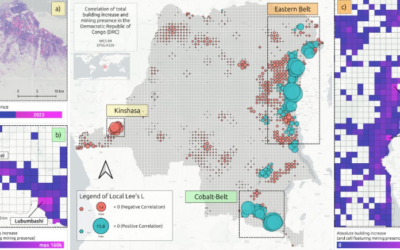
The Cobalt Magnet: Rapid Urbanization and MigrationAn incredible amount of the technology we rely on every day – from smartphones to lithium-ion batteries in electric vehicles – depends heavily on one single metal: cobalt. With more than 60% of the world's...

New Technical publication on Regional Planning Smart Solution

New Technical publication on Regional Planning Smart Solution

Urban and regional planning increasingly relies on geospatial technologies to support evidence-based decision-making. Within the European research project FUTURAL – Empowering the Future of Rural Regions, researchers at the Earth Observation Center (EOC) of the...

Share This