
Although the Arctic is usually associated with snow and ice, vegetation also plays an important role in Arctic ecosystems. While there are no trees or tall shrubs in Svalbard, a High Arctic archipelago, valleys are characterized by a mosaic of wetlands, moss tundra, and dry heath vegetation that provide an important source of food for reindeer and many other herbivores. As a result of climate change, Arctic tundra ecosystems are changing, with spatial greening trends observed in many regions. However, monitoring tundra ecosystems can be challenging as they are often very heterogeneous. Small-scale differences in topography or hydrological conditions can have a large impact on the growing conditions for plants, so that species composition can vary greatly over small distances. These differences are not distinguishable in many satellite-based remote sensing data products, but are important in order to understand ecosystem processes better.
Our new publication titled “Drone data enables high-resolution mapping and reveals hydro-topographic properties of High Arctic tundra vegetation” further investigates this topic using high-resolution data collected with an uncrewed aerial system (UAS). The article was authored by EORC researchers Elio Rauth, Antonio José Castañeda-Gómez, Jakob Schwalb-Willmann, Mirjana Bevanda and Tobias Ullmann in close collaboration with researchers from the University Centre in Svalbard (UNIS), including Clara Wilcock, Ronja Seitz, Larissa Beumer, and Simone Lang. The paper is part of the Focus on Bridging Knowledge Gaps in Tundra Ecology in a Warmer Future Arctic focus collection in Environmental Research: Ecology and draws attention to the environmental impacts of climate change on Arctic tundra ecosystems.
Here is the abstract:
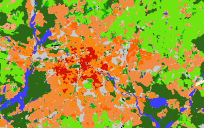
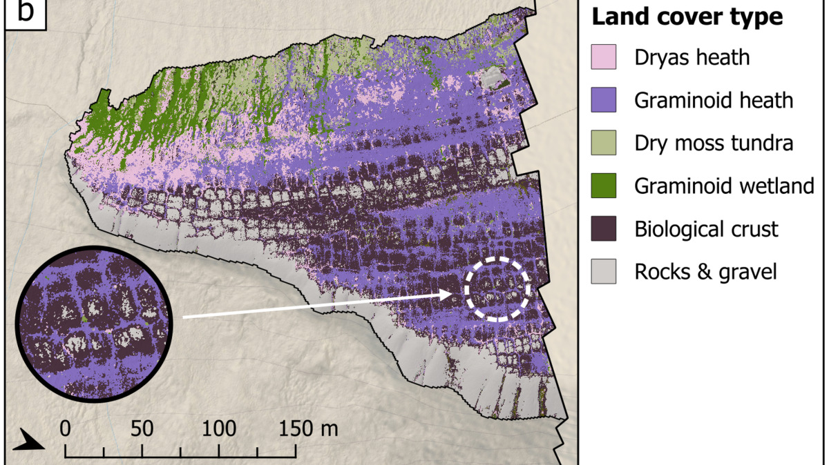
High Arctic tundra vegetation is highly fragmented, reflecting micro-topographical heterogeneity that governs local patterns of snow accumulation and soil moisture, and thus the distribution of plant communities. In this case study from Svalbard, we show the potential of using high-resolution earth observation data obtained with an uncrewed aerial system (UAS) to map and classify tundra vegetation communities, highlighting the importance of fine-scale hydro-topographic features. We used multispectral and light detection and ranging UAS data with a spatial resolution of 10 cm to map the land cover in a 140 ha study area. The resulting land cover map has a mean F1-score of 0.79 and shows the distribution of 14 land cover types. We further derived the topographic position index (TPI) and topographic wetness index (TWI) to analyze the terrain exposure and wetness of heath, moss tundra, and wetland vegetation communities. Our results reveal hydro-topographic vegetation gradients at centimeter-scale, demonstrating the importance of high-resolution data in understanding vegetation distribution in High Arctic tundra ecosystems. We observed a moderate negative correlation between TPI and TWI in highly exposed sites dominated by heath vegetation (plateau: ρ = −0.39, p < .001; ridges: ρ = −0.54, p < .001), which aligns with previous research about the effect of small-scale differences in snow depth on soil moisture and thereby the distribution of heath vegetation communities. Moreover, we found a moderate positive correlation between TWI and in situ soil moisture measurements (ρ = 0.52, p < .001), indicating that TWI can be used as a rough approximation of soil moisture in High Arctic ecosystems at a reasonably high level of confidence. Our findings highlight the potential of high-resolution UAS data in understanding micro-topographic properties of vegetation distribution in High Arctic tundra ecosystems.
The full article is available here: https://doi.org/10.1088/2752-664X/aeb896