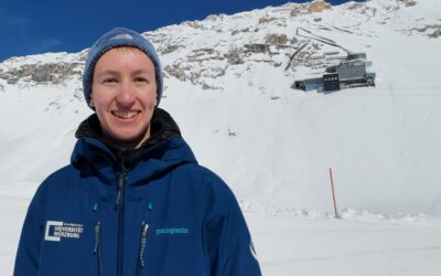
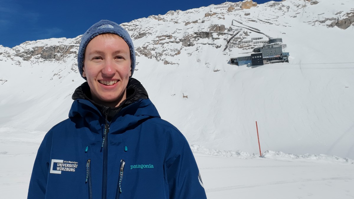

What better place to learn about snow than high up in the Alps, surrounded by snow-covered mountains? For Elio Rauth, teaching means getting students out of the classroom and into the field. Since 2025 he has been teaching a field course about using uncrewed aerial system (UAS) to monitor snow dynamics at the Zugspitze. The course takes place at the Umweltforschungsstation Schneefernerhaus (UFS), the environmental research station at the Zugspitze, and gives students the opportunity to experience first-hand how to do research in the mountains.
A central element of the field course includes measurements of snow properties. Equipped with avalanche poles, students hike across the snow-covered terrain, measuring snow depth along transects. These measurements later provide valuable insights into the complex patterns of snow distribution and act as a validation for remote sensing datasets. Through the course, students gain experience about the entire data workflow from raw field observations to the final data products, using both measurements from the field and remote sensing data. Students learn about how snow conditions vary across the landscape and why these differences matter for hydrology, climate research, and ecosystem processes.
The field course is also about experiencing the realities of environmental research. Hiking through deep snow, navigating challenging terrain, carrying equipment, and collecting reliable measurements are all part of the learning process. Students get a genuine impression of what it takes to conduct research in high-alpine environments, while experiencing the spectacular surroundings of Germany’s highest mountain. At the end of the day, students take home more than datasets. They gain practical field skills, a better understanding of snow processes and first-hand experience of how interdisciplinary earth observation research works in the field.
As a researcher and lecturer at the Earth Observation Research Cluster (EORC), Elio combines field measurements and remote sensing to understand how topography affects the spatial variability of snow. Elio is also part of the EORC UAS research team, which uses high-resolution drone data in environmental research projects from the South African Savannah to the High Arctic Tundra. The UAS team also includes Antonio José Castañeda-Gómez, Luisa Pflumm, Dr. Jakob Schwalb-Willmann and lead by Dr. Mirjana Bevanda. They join their expertise in UAS operations for advanced remote sensing and geospatial analysis.