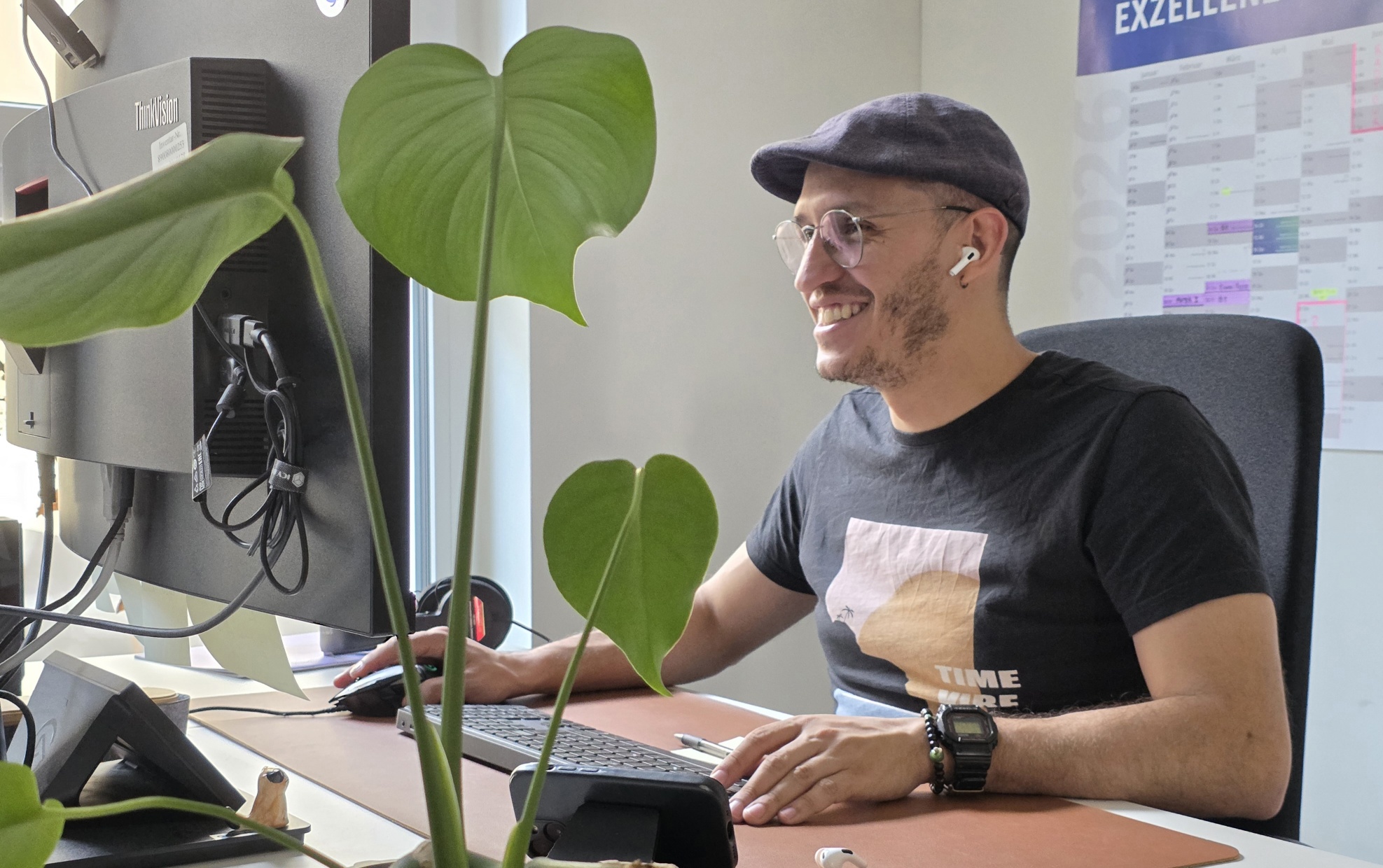

Antonio Castaneda-Gomez is a PhD student at the Earth Observation Research Cluster whose work combines fieldwork, programming, and environmental science. His research focuses on using uncrewed aerial systems (UAS) and remote sensing technologies to better understand ecosystems and environmental processes.
Antonio joined the research group in 2022 as part of the EcoGlob project, bringing both technical expertise and hands-on field experience. His research investigates how drone-based remote sensing can be used to map ecosystems and support biodiversity and conservation studies. By integrating high-resolution aerial data with geospatial analysis, he contributes to research at the interface of geography, ecology, and environmental monitoring.
Before starting his PhD, Antonio completed the EAGLE M.Sc. program, where he wrote his master’s thesis on the analysis of UAS LiDAR data for forest attributes. This work sparked his continued interest in drone-based environmental monitoring and the development of innovative methods for collecting and analyzing spatial data.
A central aspect of Antonio’s work is connecting field operations with computational tools. Recently, he developed an R package designed to improve UAS mission planning and flight route generation, particularly in complex terrain such as steep landscapes or cliffs. The tool helps researchers calculate optimized flight paths and above-ground-level (AGL) parameters, supporting the collection of consistent and reliable aerial datasets.
Antonio is also involved in several international drone-based data acquisition campaigns. His fieldwork includes landcover mapping in Svalbard, active fire monitoring in South Africa, and forest monitoring in Germany. These activities contribute to the collection of high-quality environmental datasets used to study ecosystem dynamics, climate-related processes, and landscape change.
In addition to his research, Antonio contributes to teaching within the EAGLE M.Sc. program, supporting courses on UAS operations. He helps guide students through topics such as sensor technologies, flight planning, structure-from-motion processing, and safe drone operation for scientific applications.
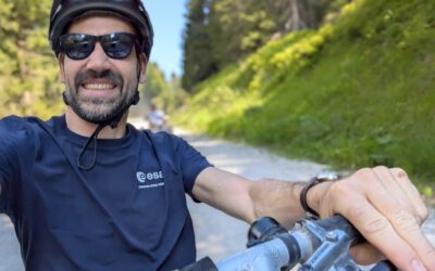
Originally from Colombia, Antonio enjoys cycling and photography, interests that naturally complement his curiosity for landscapes and environmental observation.
Antonio joined the research group in 2022 as part of the EcoGlob project, bringing both technical expertise and hands-on field experience. His research investigates how drone-based remote sensing can be used to map ecosystems and support biodiversity and conservation studies. By integrating high-resolution aerial data with geospatial analysis, he contributes to research at the interface of geography, ecology, and environmental monitoring.
Before starting his PhD, Antonio completed the EAGLE M.Sc. program, where he wrote his master’s thesis on the analysis of UAS LiDAR data for forest attributes. This work sparked his continued interest in drone-based environmental monitoring and the development of innovative methods for collecting and analyzing spatial data.
A central aspect of Antonio’s work is connecting field operations with computational tools. Recently, he developed an R package designed to improve UAS mission planning and flight route generation, particularly in complex terrain such as steep landscapes or cliffs. The tool helps researchers calculate optimized flight paths and above-ground-level (AGL) parameters, supporting the collection of consistent and reliable aerial datasets.
Antonio is also involved in several international drone-based data acquisition campaigns. His fieldwork includes landcover mapping in Svalbard, active fire monitoring in South Africa, and forest monitoring in Germany. These activities contribute to the collection of high-quality environmental datasets used to study ecosystem dynamics, climate-related processes, and landscape change.
In addition to his research, Antonio contributes to teaching within the EAGLE M.Sc. program, supporting courses on UAS operations. He helps guide students through topics such as sensor technologies, flight planning, structure-from-motion processing, and safe drone operation for scientific applications.
Originally from Colombia, Antonio enjoys cycling and photography, interests that naturally complement his curiosity for landscapes and environmental observation.