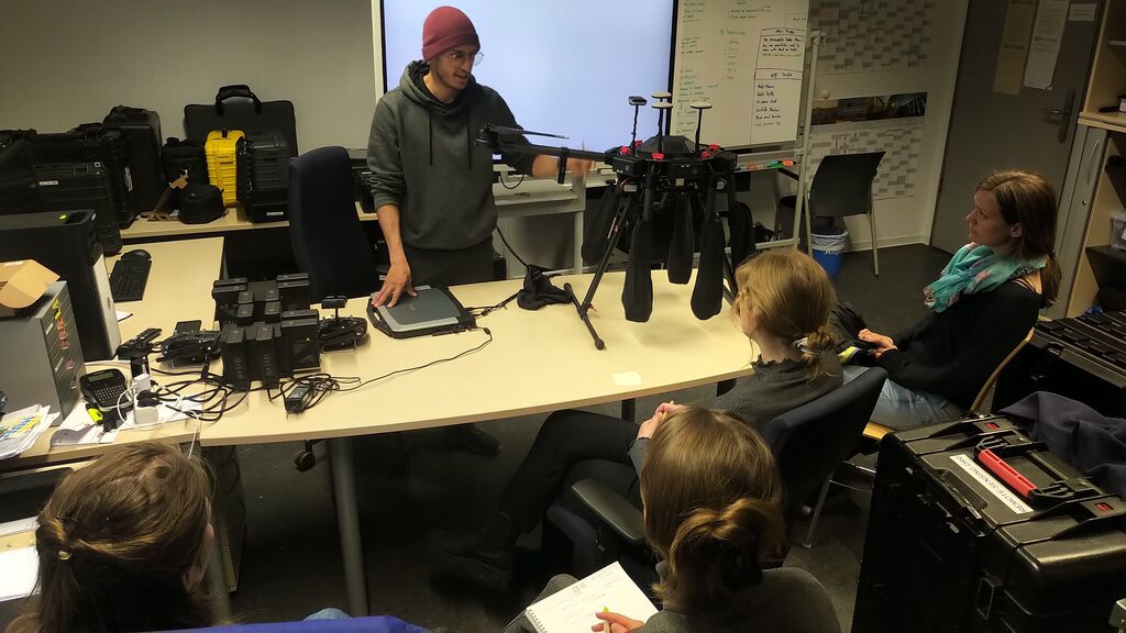
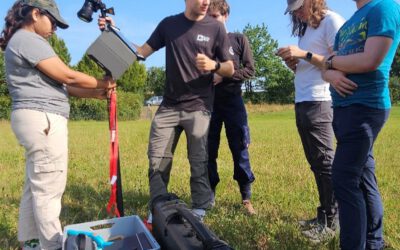
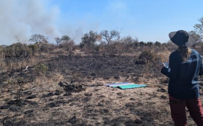
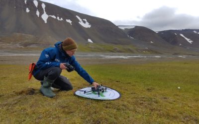
Several days a week our UAS team is heading into various study sites and are collecting Lidar, multispectral and thermal UAS data of forests, meadows and agricultural sites. In-between the field work various UAS systems are explained to new upcoming UAS pilots and after the theory also the practical flying and especially the data collection is covered. This time the M600 is introduced with the Lidar and multispectral payload options. From pre-flight to mission planning up to data retrieval and storage, all topics are covered in order to acquire relevant data and also store and process them in a sustainable way.
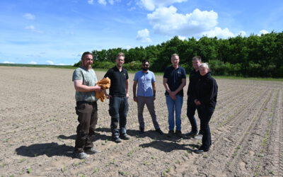
Beside our EAGLE students and student assistants we also train our own staff to become proficient in UAS based data collection for various upcoming projects e.g. on georisks or forest mapping.

