Field season started – UAS missions across Europe

Field season started – UAS missions across Europe

April 4, 2023

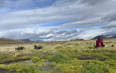
The UAS team already started their field data season a few weeks ago but finally they had splendid weather for UAS flight campaigns. They have a tough year ahead with a very challenging schedule – flying various sites, from forest to agriculture, from cold to tropic regions and some of them in very high temporal resolution. Various multispectral, thermal and Lidar sensors are used to cover the diversity of landscape attributes in the different study sites.

This challenging task is just possible with a strong team of highly dedicated PhD and student assistants. Antonio Castaneda is conducting his PhD with different UAS data sets and various young EAGLE students are assisting him and Dr. Mirjana Bevanda in acquiring and processing the huge amount of data.

you may also like:

Field Excursion to Owabi Wildlife Sanctuary

Field Excursion to Owabi Wildlife Sanctuary

As a highlight of the third day of our training at KNUST on the use of remote sensing for biodiversity conservation, we took our participants on a field excursion to the nearby Owabi Wildlife Sanctuary. Guided by experienced local experts, we explored the area and had...

Expedition to Central Asia in the frame of the FluBig project

Expedition to Central Asia in the frame of the FluBig project

Since mid of September, a team from the Earth Observation Research Cluster is on a field expedition at the Naryn River in Kyrgyzstan. The team is acquiring data on vegetation and hydro-geomorphic features for the DFG funded "FluBig" project which is dedicated to...

EOCap4Africa training in Kumasi

EOCap4Africa training in Kumasi

Today, we launched the testrun for our MSc module on Remote Sensing for Biodviversity Conservation which forms part of the EOCap4Africa project (funded by the Federal Agency of Nature Conservation) at the Kwame Nkrumah University of Science and Technology (KNUST) in...

Final workshop on research project OptiPlan

Final workshop on research project OptiPlan

Final workshop on research project OptiPlan (Ein innovatives KI-basiertes Planungstool zur Verkehrserfassung für nachhaltiges Flächenmanagement mittels Kamera- und Satellitenbilddaten)On September 19, 2025, the consortium of the OptiPlan project (German Aerospace...