
Spotlight on our Researchers: Daniel Gruschwitz

Spotlight on our Researchers: Daniel Gruschwitz

May 29, 2026

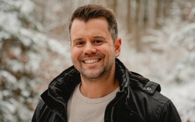
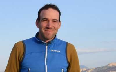
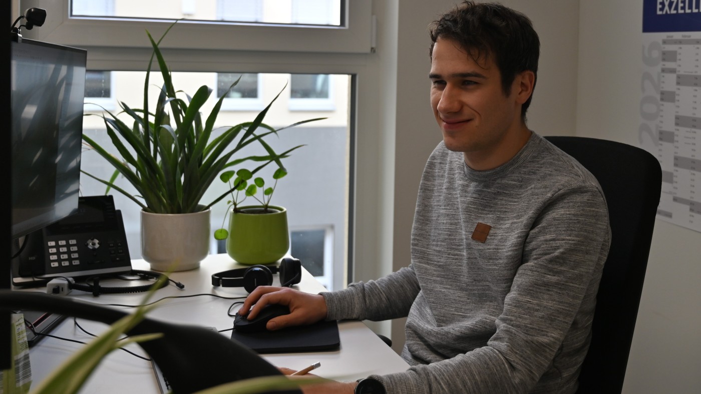
Daniel Gruschwitz is an EAGLE MSc program alumnus and a current PhD student at the EORC, focusing on advanced remote sensing applications for grassland mapping. His research leverages satellite-based sensors and geospatial analysis to improve the understanding and monitoring of grassland ecosystems.

Background and Expertise

Daniel’s expertise lies in remote sensing, geospatial data analysis, and the integration of multi-source data for ecological monitoring. His work emphasizes translating high-resolution data into actionable insights for grassland management and ecological research.

Key Projects and Contributions

  • Grassland Floristic Biodiversity Mapping: Daniel’s PhD research focuses on the prediction of grassland floristic biodiversity, utilizing innovative remote sensing workflows to enhance accuracy and detail.

  • Environmental Data Analysis: He brings together high-resolution satellite derived information and ecological models to support ecosystem monitoring.

  • EAGLE Alumni Engagement: As an alumnus of the EAGLE MSc program, Daniel actively supports ongoing student projects, sharing his experience in environmental monitoring and remote sensing research.

Vision and Impact

Through his research, Daniel Gruschwitz aims to advance grassland mapping techniques that support sustainable ecosystem management. His work exemplifies the intersection of cutting-edge remote sensing technology and ecological applications, reinforcing his role as a leading researcher in environmental monitoring.

follow us and share it on:

you may also like:

Lecturer Spotlight: Mirjana Bevanda

Lecturer Spotlight: Mirjana Bevanda

There's a particular moment in the EAGLE program that shows that EAGLE is different, it is the moment the students realize their thesis isn't just another task to receive a M.Sc., their internship or InnoLab isn't just ECTS points, but it's a real world application....

Lecturer Spotlight: Julian Faeth

Lecturer Spotlight: Julian Faeth

Dr. Julian Fäth is a postdoctoral researcher at our EORC. His teaching combines remote sensing, forest ecology and geospatial data science with a strong focus on operational applications and climate adaptation. Since 2018, Julian has been actively involved in...

Lecturer Spotlight: Martin Bachmann

Lecturer Spotlight: Martin Bachmann

Martin's the lecturer who actually built the systems behind the hyperspectral data EAGLE students learn to analyze. He's a research scientist with the Land Surface Dynamics Department at DLR's German Remote Sensing Data Center in Wessling, and his over twenty years of...

Lecturer Spotlight: Tanja Kraus

Lecturer Spotlight: Tanja Kraus

Tanja is the lecturer whose work keeps landing directly on the desks of the people who actually have to act on it: Bavarian ministries, municipalities, foresters, farmers and planners. She joined DLR's German Remote Sensing Data Center (DFD) in 2002 and has been...

Lecturer Spotlight: Michael Wurm

Lecturer Spotlight: Michael Wurm

Michael's the guy you want in front of the class when it's time to actually open up an image and start segmenting it. At EAGLE he teaches the urban side of things: environmental exposure, pollutants, green space, noise, traffic, air pollution, urban heat islands. And...

Lecturer Spotlight: Florian Betz

Lecturer Spotlight: Florian Betz

If you've spent any time around EORC, you've probably crossed paths with Florian at some point, maybe standing knee deep in a riverbed somewhere in Central Asia, or deep in conversation about river dynamics. Florian is a Principal Investigator at the Earth Observation...

bzgl. Art. 50 Verordnung (EU) 2024/1689 (AI Act):

Überwiegend werden eigene originäre Texte und Bilder des EORC genutzt, jedoch sind einige Inhalte von blog post Texten teilweise mit Hilfe von KI überarbeitet worden und einige Bilder sind ganz mit KI erstellt, die jedoch deutlich keine photorealistische Darstellungen abbilden. Aussnahmen sind KI generierte fernerkundliche Datensätze, die explizit für Forschungszwecke mit KI erstellt wurden, hier wird aber durch den assoziierten Text der wissenschaftliche Grund der KI generierten Bilder erläutert.

Privacy Policy

Lehrstuhl für Fernerkundung & Lehrstuhl für Urbane Fernerkundung

Erdbeobachtung an der Universität Würzburg

Share This