Tender Bachelor thesis
Derivation of application examples for sustainable land and water management in Central Asia using...
Read More

Derivation of application examples for sustainable land and water management in Central Asia using...
Read More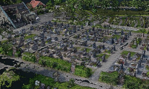
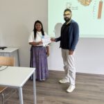
Florian Baumgartner started his B.Sc. thesis titled “Object-oriented derivation of a digital cemetery plan from very high resolution aerial imagery – a case study for the municipality of Kürnach”. The aim of his thesis is to derive a high-resolution UAV-based graveyard map that can be used by the municipality for further planning within the cemetery administration.
Read More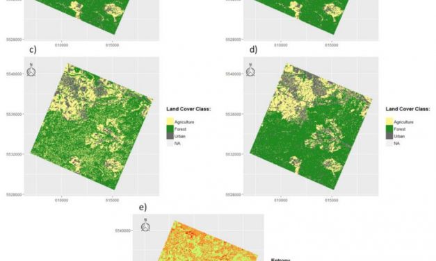
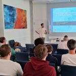
Marius Philipp handed in his B.Sc. thesis on “Spectral and spatial resolution of remote...
Read More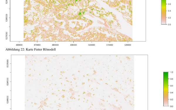
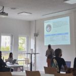
Leonard Hammer handed in his B.Sc. thesis on “explaining spatial patterns of stork movements...
Read MoreThe Department of Conservation and Research of the Bavarian Forest National Park (BFNP) is seeking highly motivated B.Sc and M.Sc students for internships starting in September 2015. The BFNP is located at the German/Czech...
Read MoreSophia Wisboeck handed in her BSc thesis “Explaining variation in home range size of red deer (cervus elaphus) in the Bavarian Forest National Park using LiDAR derived metrics on forest structure and fractional...
Read MoreSophia Wiesböck will do her BSc thesis on the importance of fCover and Lidar data to explain home range sizes of red deer in the Nationalpark Bavarian Forest. Sophia will compute fCover on different spatial resolutions using...
Read Moreare you interested in a BSc thesis within remote sensing for biodiversity and conservation or more in general ‘ecology’? A variety of topics are possible such as species distribution modelling, deforestation, spatial...
Read More