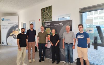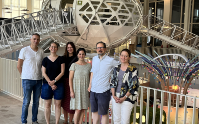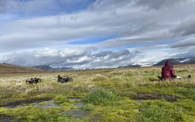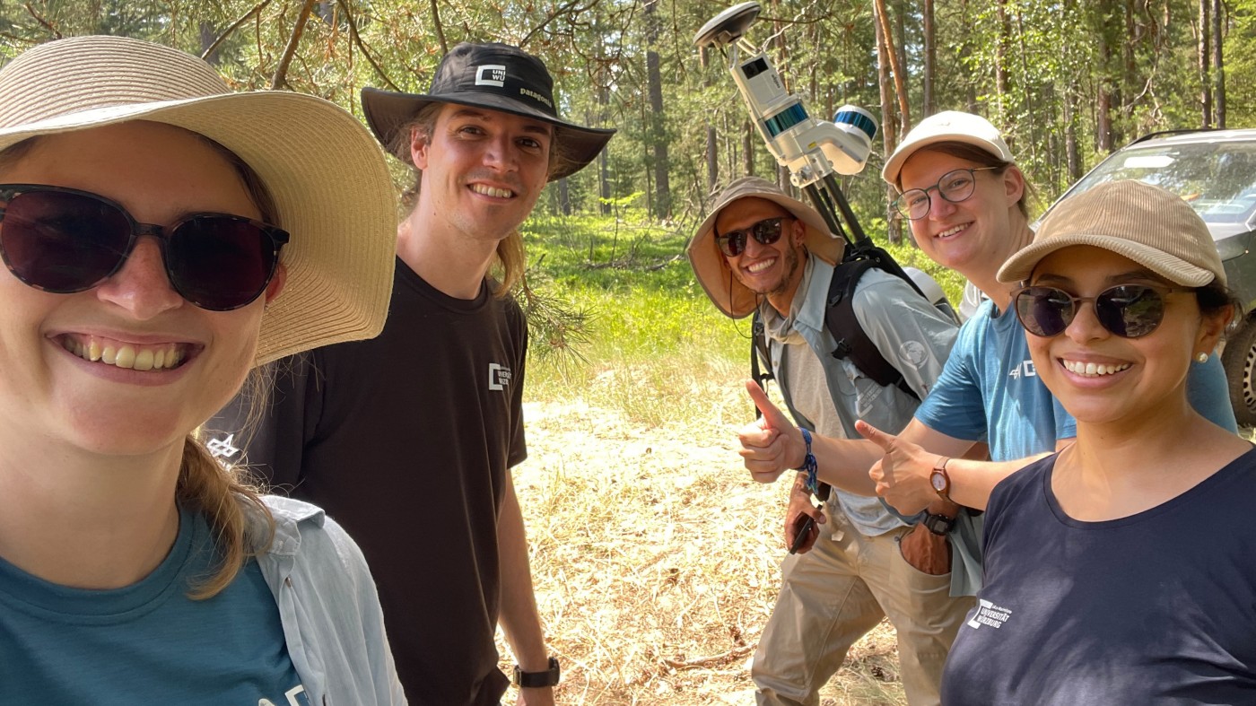

Forest edges are tricky places. They’re where woodland meets open ground, where light and shade trade off every few meters, and where, it turns out, ticks tend to do really well. That last bit is exactly why Dr. Ariane Droin, Sofía García de León, Dr. Jakob Schwalb-Willmann, Antonio Castañeda-Gomez and Dr. Julia Rieder have spent time out in these edge zones with a fleet of drones, collecting the kind of data that can’t be gathered any other way.
The work is part of MONID Habitrack, funded by the BMFTR, a project that’s trying to answer a question with real public health relevance: where exactly do infected ticks like to live, and what does that mean for the people who walk, hike, or work near those spots. Ticks aren’t just a nuisance, they can carry pathogens that cause serious illness, and the risk isn’t spread evenly across a landscape. It clusters. Forest structure seems to be a big part of why.
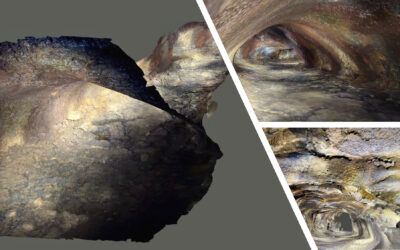
So the team set out to characterize that structure in detail at a handful of forest edge study areas. They flew UAS platforms equipped with thermal, multispectral, and lidar sensors over each site, building up a layered picture of what these edges actually look like, structurally and physically, at a resolution that satellites just can’t match. Lidar gives you the 3D scaffolding, the canopy gaps, the undergrowth density, the way vegetation layers stack on top of each other. Multispectral data adds the vegetation health and composition angle. And thermal imagery picks up on microclimate differences, the kind of subtle temperature and humidity patterns that matter enormously to a small, moisture-sensitive creature like a tick.
None of this happens in isolation, though. The whole point of flying these missions is to link the structural data back to something biological: tick presence and abundance, measured on the ground by collaborators from the medical sciences. That’s the heart of the MONID Habitrack approach, pairing remote sensing with field-collected ecological and epidemiological data so the two inform each other instead of sitting in separate silos.
From here, the data doesn’t just get filed away. It feeds into joint analysis with modellers and medical researchers, who are working to predict where infected ticks are likely to be present and, ultimately, what that means for human risk in a given area. That’s a genuinely useful output, the kind of thing that could eventually inform anything from public health advisories to land management decisions near forest edges.
It’s a nice example of what UAS remote sensing is good for beyond the usual mapping and monitoring applications, using fine-scale structural data to get at a question that’s fundamentally about disease ecology. And it’s the kind of project that only works with a team spanning sensor operation, data processing, and domain expertise from the medical side, which is exactly what this group has put together.