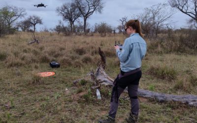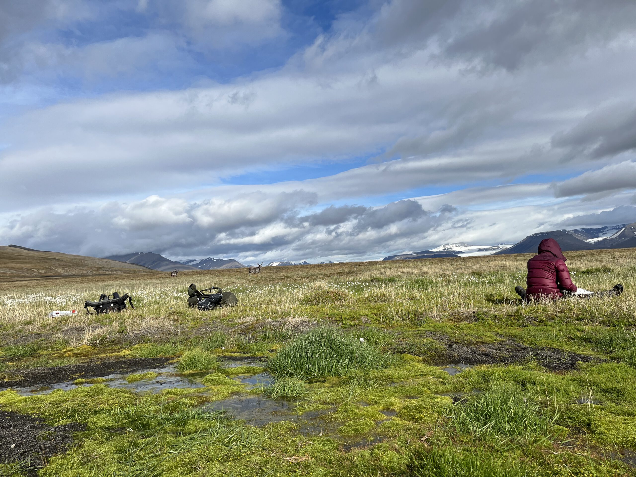

Following our joint winter campaign, former EAGLE and UNIS research assistant Ronja Seitz has recently returned to the remote valley of Reindalen for her summer fieldwork. As part of her Arctic Field Grant project, Ronja is recording high-resolution UAV data throughout the growing season to advance our understanding of how micro-topography and past winter snow distribution shape Svalbard reindeer habitats in Reindalen. Operating from the isolated Tarandus research cabin, she is accompanied by postdoc Sam Dwinnell, who is studying reindeer ecology in the area. At the cabin, the team lives off supplies that had been brought there using snowmobiles in winter. Energy is prodcued using a wind turbine that Sam has brought, with a fuel generator as backup. Through satellite internet, Ronja stays in touch with Longyearbyen and Würzburg, and has recently sent us her first updates from the field.
Since several weeks, Ronja has now been recording vegetation – both on the ground and from the air. The first target area in Semmeldalen, an inflow valley to Reindalen, was successfully mapped over six UAV flights. The process required two days of intense preparation, e.g. to deploy ground control points (GCPs) across the uneven terrain. Ground-truthing the Arctic vegetation has proven to be an incredibly time-consuming task. While initial planning has guided the data collection in the beginning, Ronja needed to adapt her sampling strategy after first experiences in the new area of interest and has thereby optimized the distribution of field sampling locations within the flight areas. The adjustment paid off: Despite facing two days of poor weather, they managed to double their daily output. After getting used to the area and its challenges, they have successfully completed recording vegetation in 40 plots in a single day.
The fieldwork currently focuses on recording percentage coverage per plant species, providing data of vegetation coverage. In addition, Ronja is testing biomass sampling methods at the same locations. From the air, Ronja uses a multi-spectral sensor mounted on a drone to record the spatio-spectral characteristics of vegetation from above. Currently, Ronja is wrapping up flights and vegetation plots for the second target area, located in Reindalen, which demands a greater number of drone missions. Today, Ronja and Sam will relocate upstream into the valley toward Sørhytta, another research cabin further inland, to tackle the final and largest target area, which is expected to take up the remainder of their time in the field.
Living and conducting research off-the-grid also has brought technical challenges. For example, drone batteries need to be charged after a day in the field. Unfortunately, the Arctic winds have damaged Sam’s wind turbine, so that the team had to switch to the backup generator to keep the lights on at Tarandus and the batteries fully charged.
The spatially continuous data gathered during these intense summer weeks will ultimately merge with our cm-scale winter LiDAR data, advancing our understanding of how the interaction between snow and vegetation drives the Svalbard tundra ecosystem.
Ronja is working closely together with Dr. Jakob Schwalb-Willmann and Dr. Mirjana Bevanda at our EORC and Assoc. Prof. Larissa Beumer at UNIS.