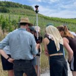
EORC researchers teaching drone remote sensing at UNIS, Svalbard
During their current visit to Svalbard, EORC researchers have been teaching UNIS students from all...
Read More
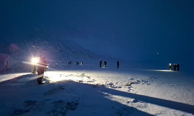
During their current visit to Svalbard, EORC researchers have been teaching UNIS students from all...
Read More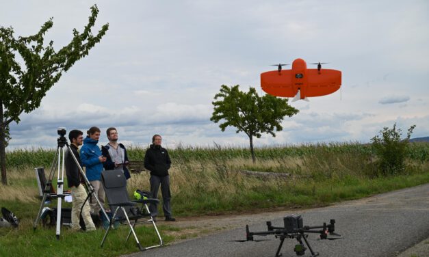
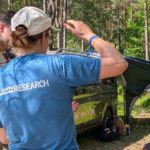
This week, EOR Cluster staff carried out a routine flight mission in the University Forest: As every second week, the entire 200 ha were imaged with a multispectral sensor on a Wingtra fixed wing aircraft. Additionally, the mission was augmented by LIDAR on an M300 multicopter (as every month). Initially delayed by rainy weather, the crew managed to acquire high quality data, which helps monitoring the ecosystem.
Read More
We are glad to share with you our newest publication on “Potential of Airborne LiDAR Derived...
Read More
The Special Issue of Photogramemtrie, Fernerkundung, Geoinformation (PFG) entitled “Remote...
Read More
Earth observation methods have been important tools for forest management applications for several...
Read More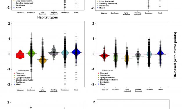
A recently published paper featuring Hooman Latifi from Dept. of Remote Sensing presents a method...
Read MoreM.Sc thesis (+ a two-month internship): Agent-based modeling to understand Mediterranean wetland (former saltworks) dynamic based on multiple remote sensing data The Camargue’s former saltworks is a 6500-ha site located...
Read MoreIn a recently-published paper in Forestry featuring Hooman Latifi, Steven Hill and Stefan Dech from the Dept. of Remote Sensing, further advancements have been reported in developing unbiased statistical models for area-based...
Read MoreIn a newly-published paper featuring Steven Hill and Hooman Latifi from Dept. of Remote Sensing, very high resolution remote sensing (laser scanner data and aerial orthophotos) were used in a full remote sensing-based framework...
Read MoreA M.Sc thesis was written by Bastian Schumann under the supervision of Dr. Hooman Latifi and Prof. Christopher Conrad that focused on a LiDAR-based approach to combine structural metrics and forest habitat informaiton for causal...
Read MoreA M.Sc thesis by Raja Ram Aryal at the University of Applied Sciences Stuttgart was recently written under the supervision of Dr. Hooman Latifi and Prof. Michael Hahn. The thesis focused on a comparative study on the...
Read MoreD. Hooman Latifi from the Dept. of Remote Sensing was invited by the Dept. of Geography at the Universé d’angers for a 2-week block course on forestry applications of LiDAR data. The course was consisted of lectures and...
Read More